UN/LOCODE hub · United Kingdom
GBKGU
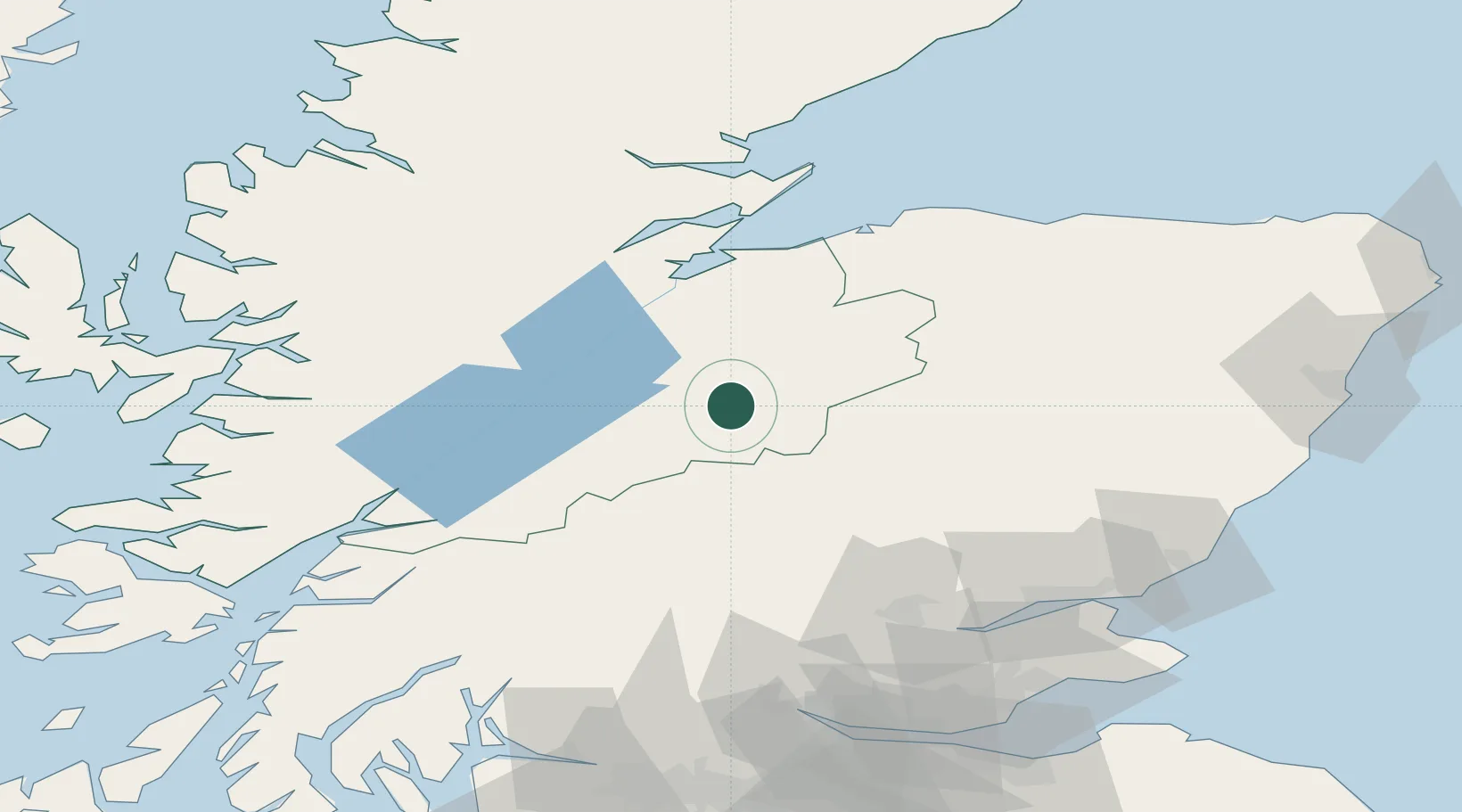
Kingussie
57.0833°, -4.0500°
1,450
Population
2
Transport functions
Transport Functions
Rail
Road
Hub Profile
Place type
Populated place
Region
Scotland
Population
1,450
Time zone
Europe/London
Elevation
235 m
Location
Nearby Logistics Neighbours
Cities
- 1Dunkeld17 km
- 2Nethy Bridge32 km
- 3Inverness46 km
- 4Croy48 km
- 5Finnart51 km
Ports
- 1Inverness46 km
- 2Cromarty67 km
- 3Invergordon67 km
- 4Corpach70 km
- 5Fort William71 km
Airports
- 1Inverness Airport51 km
- 2RAF Lossiemouth81 km
- 3Dundee Airport94 km
- 4Leuchars Station Airfield107 km
- 5Oban Airport107 km
Trade Zones
DatabookThe Record of Consolidated Knowledge
United Kingdom beyond logistics?