UN/LOCODE hub · United Kingdom
GBZAV

Croy

57.5167°, -4.0333°
641
Population
1
Transport functions

Transport Functions

Multimodal
UN/LOCODE

Hub Profile

Place type
Populated place
GeoNames
Region
Scotland
GeoNames
Population
641
GeoNames
Time zone
Europe/London
GeoNames
Elevation
98 m
GeoNames

Location

Location of GBZAV
Natural Earth 10m (public domain) · Scotland · GBZAV · 57.52, -4.03GoogleOSMYandex

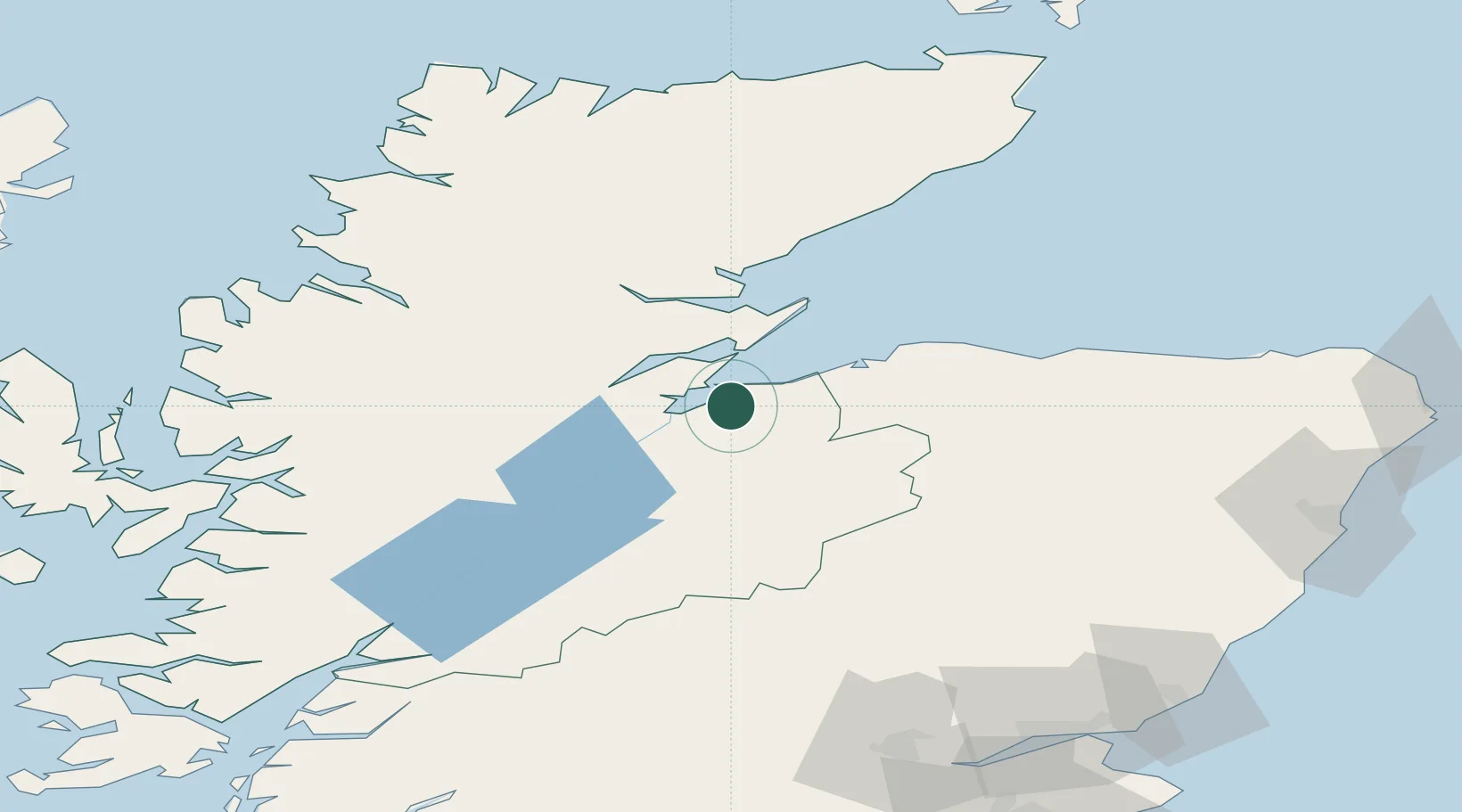
Nearby Logistics Neighbours

Cities
  1. 1Avoch9 km
  2. 2Fortrose10 km
  3. 3Rosemarkie11 km
  4. 4Inverness12 km
  5. 5Nairn12 km
Nearest neighbours — logibook spatial index (haversine) over the source coordinates
Ports
  1. 1Inverness13 km
  2. 2Cromarty19 km
  3. 3Invergordon20 km
  4. 4Portmahomack Harbor37 km
  5. 5Burghead38 km
Nearest neighbours — logibook spatial index (haversine) over the source coordinates
Airports
  1. 1Inverness Airport3 km
  2. 2RAF Lossiemouth46 km
  3. 3Aberdeen International Airport116 km
  4. 4Wick John O'Groats Airport119 km
  5. 5Dundee Airport133 km
Nearest neighbours — logibook spatial index (haversine) over the source coordinates
Trade Zones
  1. 1Prestwick Airport Free Zone226 km
  2. 2Carlisle Kingmoor Park Enterprise Zone295 km
  3. 3North Eastern Enterprise Zone320 km
  4. 4Tees Valley Enterprise Zone369 km
  5. 5Isle of Man Free Zone and Business Park383 km
Nearest neighbours — logibook spatial index (haversine) over the source coordinates
DatabookThe Record of Consolidated Knowledge
United Kingdom beyond logistics?
Browse databook

All Sources

LocationsUN/LOCODE
UN/LOCODE — free
LocationsGeoNames
CC BY 4.0
Portsthe NGA World Port Index
Public domain (US gov)
AirportsOurAirports
Public domain
Trade Zonesthe World Bank SEZ database
CC BY 4.0
Trade ZonesOpen Zone Map
CC BY
← United Kingdom locations