Channel & Berth Profile
Pilotage, Tugs & Services
Pilotage compulsoryNO
Pilotage availableYES
Pilotage advisableYES
Potable waterYES
Diesel bunkersYES
MedicalYES
Facilities & Capabilities
Container—
Ro-Ro—
Liquid bulk—
Dry bulk—
Oil terminal—
Break bulk—
Dry dock—
RepairsNO
BunkeringYES
Rail linkYES
Dangerous cargo—
ISPS security—
Harbour Specifications
Harbour size
Small
Harbour type
Coastal (Natural)
Shelter
Fair
Water body
North Atlantic Ocean
Tidal range
4 m
Overhead limit
Yes
Pilotage
No
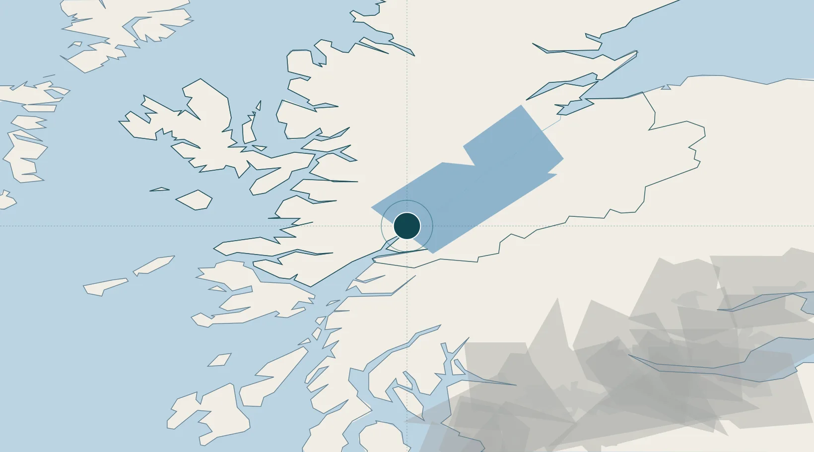
Location
Nearby Logistics Neighbours
Ports
- 1Fort William4 km
- 2Glensanda41 km
- 3Mallaig46 km
- 4Lochaline52 km
- 5Oban53 km
Cities
- 1Camusnagaul2 km
- 2Fort William4 km
- 3Corran16 km
- 4Ardgour17 km
- 5Kinlochleven19 km
Airports
- 1Oban Airport46 km
- 2Coll Airport96 km
- 3Inverness Airport100 km
- 4Colonsay Airstrip112 km
- 5Tiree Airport114 km
Trade Zones
DatabookThe Record of Consolidated Knowledge
United Kingdom beyond logistics?