UN/LOCODE hub · United Kingdom
GBINV
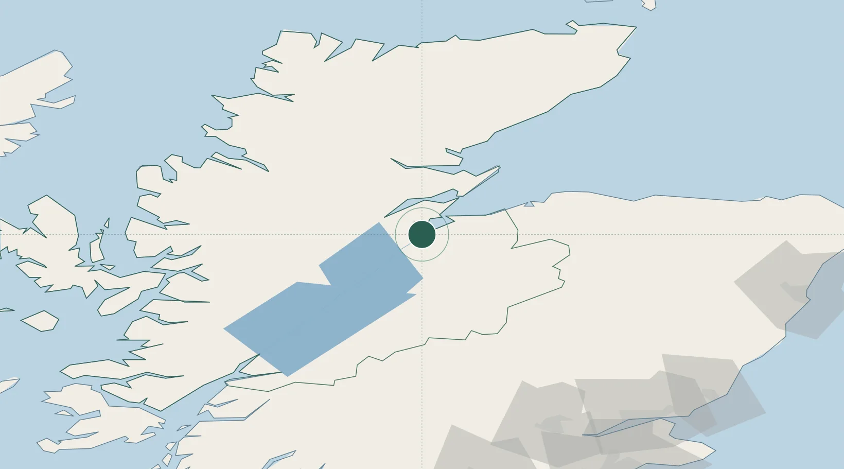
Inverness
57.4833°, -4.2167°
47,790
Population
2
Transport functions
Transport Functions
Port
Airport
Hub Profile
Place type
Provincial seat
Region
Scotland
Population
47,790
Time zone
Europe/London
Elevation
15 m
Location
Nearby Logistics Neighbours
Cities
- 1Avoch8 km
- 2Croy12 km
- 3Fortrose12 km
- 4Rosemarkie14 km
- 5Evanton19 km
Ports
- 1Invergordon22 km
- 2Cromarty25 km
- 3Portmahomack Harbor45 km
- 4Burghead49 km
- 5Lossiemouth61 km
Airports
- 1Inverness Airport12 km
- 2RAF Lossiemouth58 km
- 3Aberdeen International Airport125 km
- 4Wick John O'Groats Airport127 km
- 5Oban Airport134 km
Trade Zones
DatabookThe Record of Consolidated Knowledge
United Kingdom beyond logistics?