Transport Functions
Multimodal
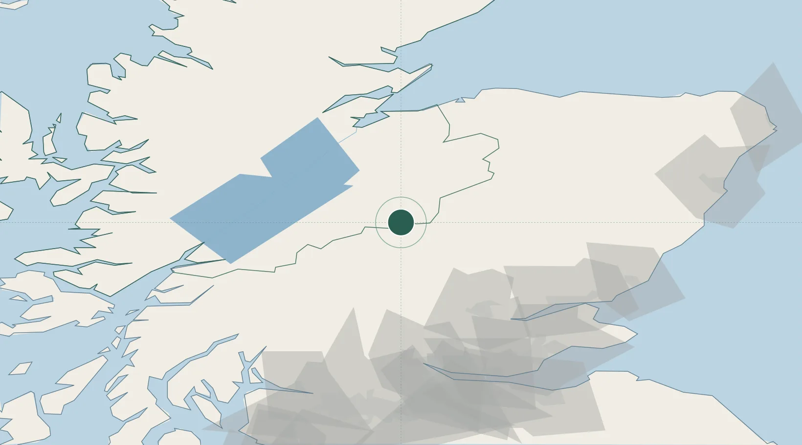
Hub Profile
Place type
Populated place
Region
Scotland
Population
1,340
Time zone
Europe/London
Elevation
59 m
Location
Nearby Logistics Neighbours
Cities
- 1Kingussie17 km
- 2Finnart40 km
- 3Nethy Bridge42 km
- 4Auchterhouse51 km
- 5Inverness63 km
Ports
- 1Inverness63 km
- 2Perth67 km
- 3Corpach71 km
- 4Fort William71 km
- 5Dundee81 km
Airports
- 1Inverness Airport68 km
- 2Dundee Airport79 km
- 3Leuchars Station Airfield92 km
- 4RAF Lossiemouth94 km
- 5Oban Airport102 km
Trade Zones
DatabookThe Record of Consolidated Knowledge
United Kingdom beyond logistics?