Channel & Berth Profile
Pilotage, Tugs & Services
Potable waterYES
Facilities & Capabilities
Container—
Ro-Ro—
Liquid bulk—
Dry bulk—
Oil terminal—
Break bulk—
Dry dock—
Repairs—
Bunkering—
Rail link—
Dangerous cargo—
ISPS security—
Harbour Specifications
Harbour size
Very Small
Harbour type
River (Basins)
Shelter
Fair
Water body
North Atlantic Ocean
Tidal range
4 m
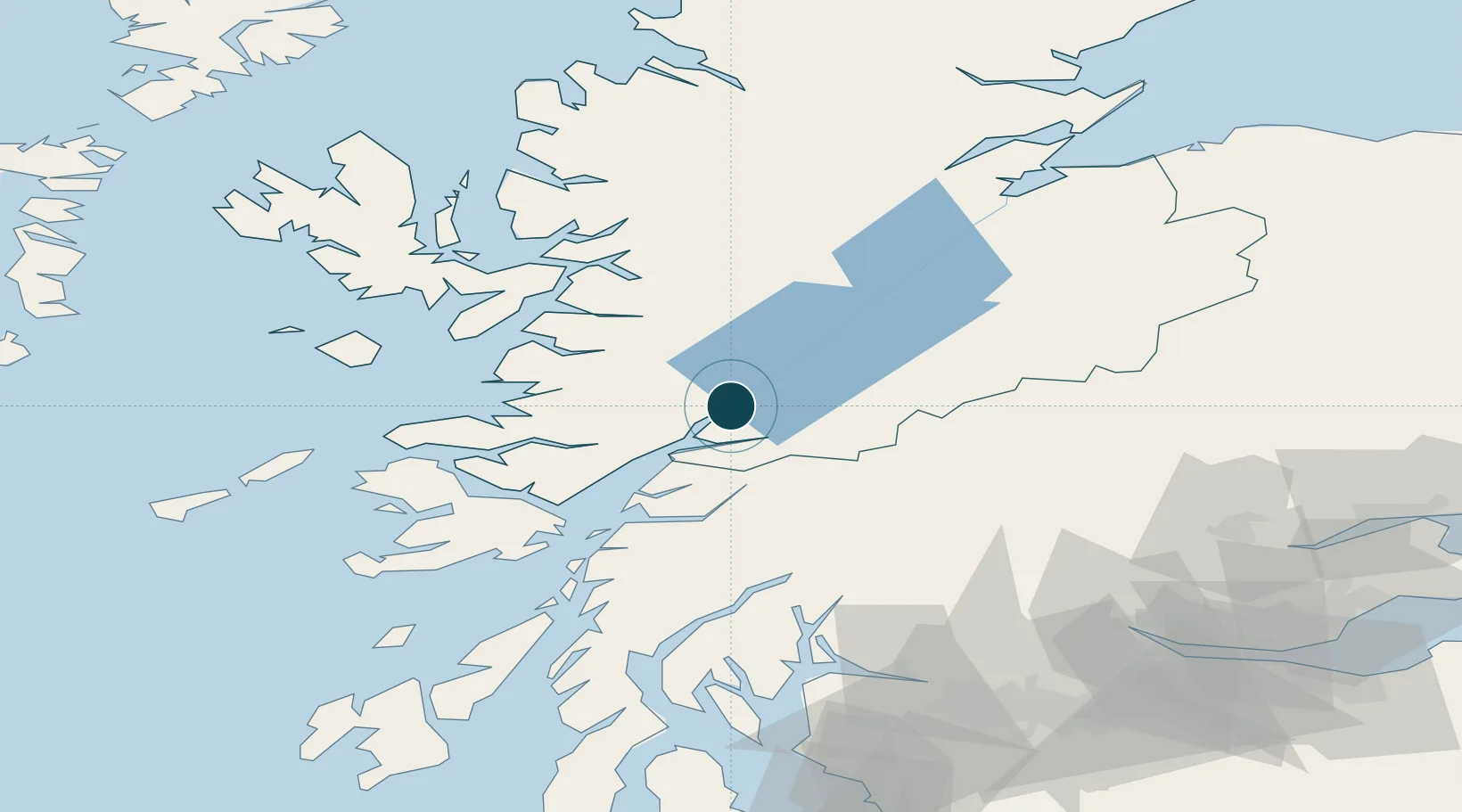
Location
Nearby Logistics Neighbours
Cities
- 1Camusnagaul2 km
- 2Corpach4 km
- 3Corran13 km
- 4Ardgour14 km
- 5Kinlochleven15 km
Airports
- 1Oban Airport43 km
- 2Coll Airport95 km
- 3Inverness Airport103 km
- 4Colonsay Airstrip109 km
- 5Tiree Airport113 km
Trade Zones
DatabookThe Record of Consolidated Knowledge
United Kingdom beyond logistics?