UN/LOCODE hub · United Kingdom
GBNBI
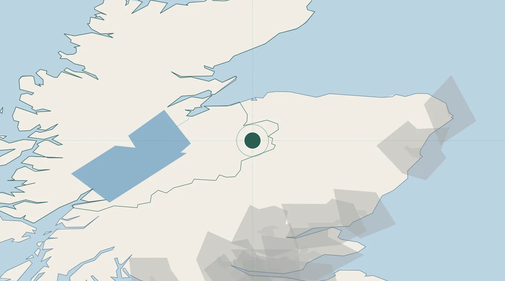
Nethy Bridge
57.2667°, -3.6333°
660
Population
3
Transport functions
Transport Functions
Port
Road
Multimodal
Hub Profile
Place type
Populated place
Region
Scotland
Population
660
Time zone
Europe/London
Elevation
215 m
Location
Nearby Logistics Neighbours
Ports
- 1Inverness43 km
- 2Burghead49 km
- 3Cromarty52 km
- 4Lossiemouth54 km
- 5Invergordon56 km
Airports
- 1Inverness Airport39 km
- 2RAF Lossiemouth52 km
- 3Aberdeen International Airport87 km
- 4Dundee Airport98 km
- 5Leuchars Station Airfield110 km
Trade Zones
DatabookThe Record of Consolidated Knowledge
United Kingdom beyond logistics?