Transport Functions
Port
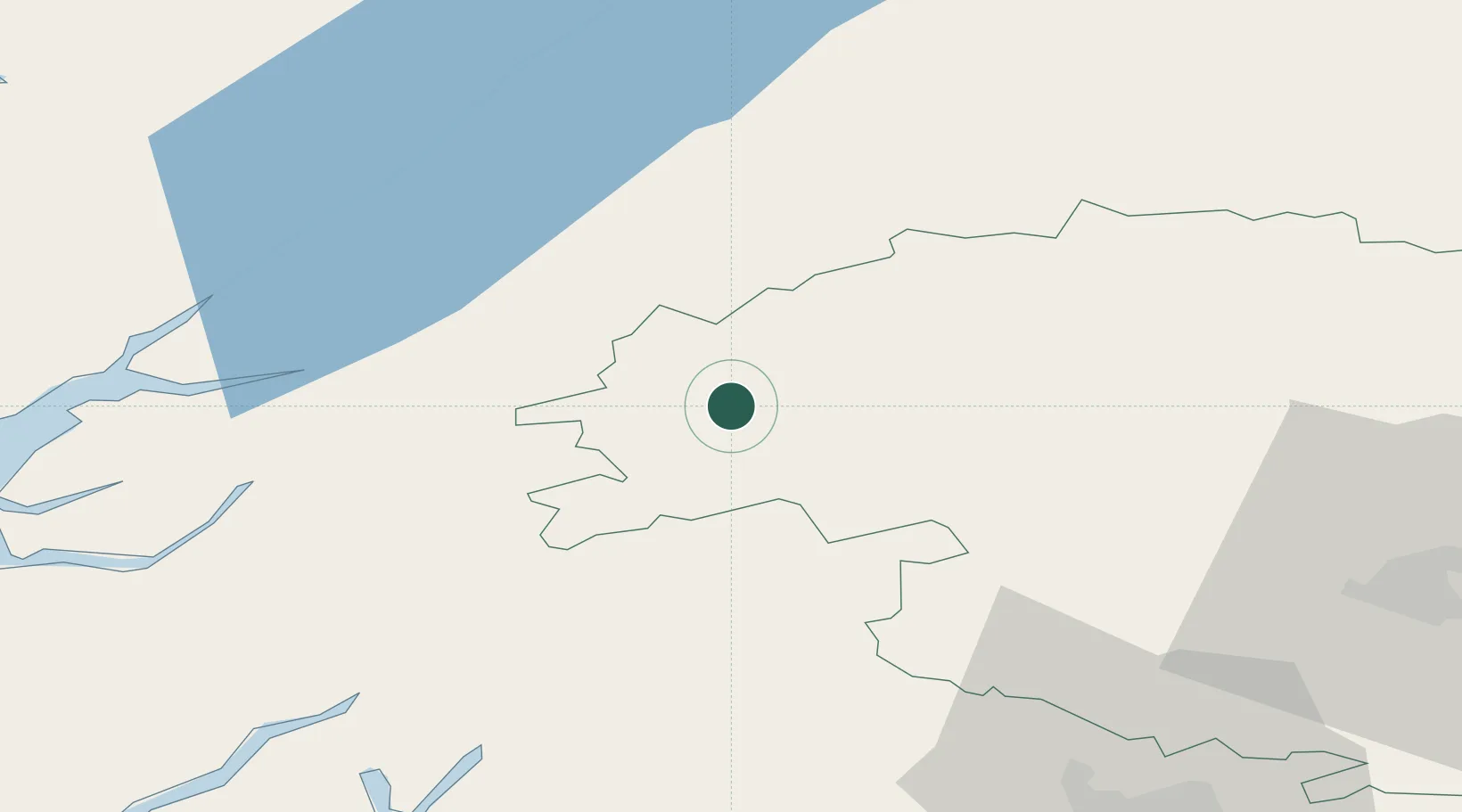
Hub Profile
Place type
Populated place
Region
Scotland
Time zone
Europe/London
Elevation
283 m
Location
Nearby Logistics Neighbours
Cities
- 1Bridge of Orchy28 km
- 2Lochearnhead33 km
- 3Kinlochleven35 km
- 4Dunkeld40 km
- 5Fort William46 km
Ports
- 1Fort William46 km
- 2Corpach47 km
- 3Perth66 km
- 4Glensanda69 km
- 5Oban70 km
Airports
- 1Oban Airport64 km
- 2Glasgow Airport88 km
- 3Dundee Airport89 km
- 4Inverness Airport100 km
- 5Leuchars Station Airfield100 km
Trade Zones
DatabookThe Record of Consolidated Knowledge
United Kingdom beyond logistics?