UN/LOCODE hub · United Kingdom
GBORC
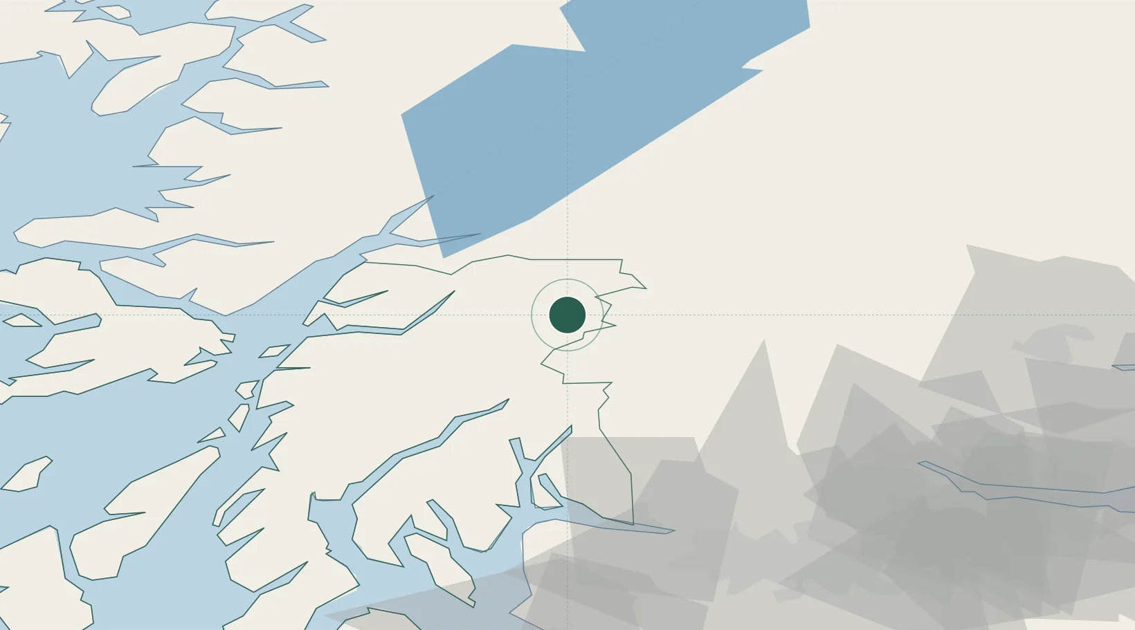
Bridge of Orchy
56.5000°, -4.7667°
152
Population
2
Transport functions
Transport Functions
Rail
Road
Hub Profile
Place type
Populated place
Region
Scotland
Population
152
Time zone
Europe/London
Elevation
162 m
Location
Nearby Logistics Neighbours
Cities
- 1Lochawe21 km
- 2Kinlochleven26 km
- 3Finnart28 km
- 4Lochearnhead32 km
- 5Barcaldine33 km
Ports
- 1Fort William41 km
- 2Finnart Oil Terminal43 km
- 3Oban44 km
- 4Corpach44 km
- 5Glensanda48 km
Airports
- 1Oban Airport39 km
- 2Glasgow Airport73 km
- 3Colonsay Airstrip104 km
- 4Edinburgh Airport106 km
- 5Dundee Airport107 km
Trade Zones
DatabookThe Record of Consolidated Knowledge
United Kingdom beyond logistics?