Channel & Berth Profile
Pilotage, Tugs & Services
Pilotage compulsoryYES
Pilotage availableYES
Potable waterYES
Diesel bunkersYES
Facilities & Capabilities
Container—
Ro-Ro—
Liquid bulk—
Dry bulk—
Oil terminal—
Break bulk—
Dry dock—
RepairsNO
BunkeringYES
Rail link—
Dangerous cargo—
ISPS security—
Harbour Specifications
Harbour size
Small
Harbour type
River (Natural)
Shelter
Good
Water body
North Atlantic Ocean
Tidal range
3 m
Pilotage
Yes
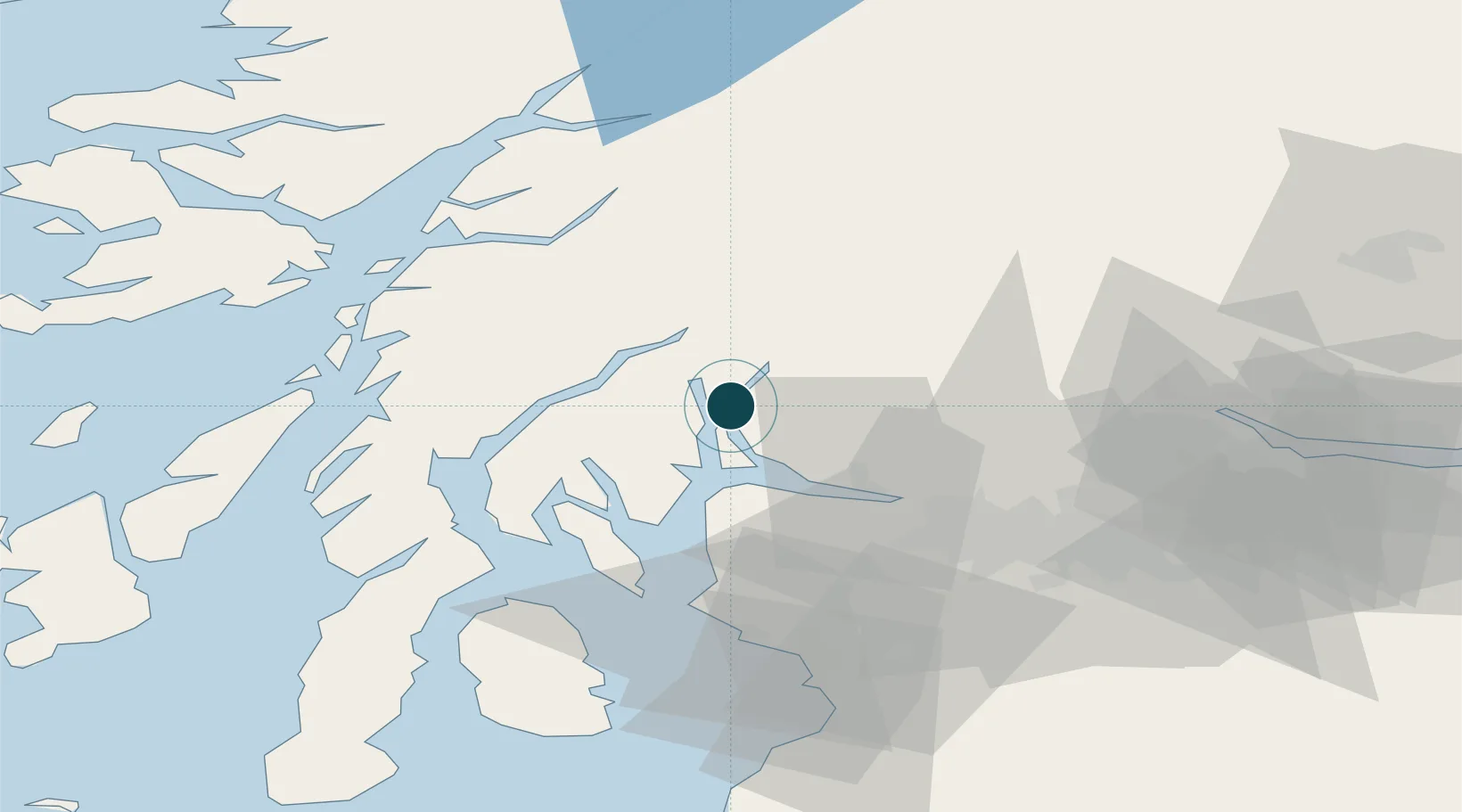
Location
Nearby Logistics Neighbours
Ports
- 1Faslane6 km
- 2Greenock19 km
- 3Bowling30 km
- 4Old Kilpatrick32 km
- 5Rothesay Harbor34 km
Cities
- 1Glenmallan1 km
- 2Gareloch2 km
- 3Portincaple2 km
- 4Garelochhead4 km
- 5Loch Long4 km
Airports
- 1Glasgow Airport37 km
- 2Oban Airport52 km
- 3Glasgow Prestwick Airport70 km
- 4Colonsay Airstrip88 km
- 5Campbeltown Airport93 km
Trade Zones
DatabookThe Record of Consolidated Knowledge
United Kingdom beyond logistics?