Channel & Berth Profile
Pilotage, Tugs & Services
Pilotage compulsoryNO
Pilotage availableYES
Pilotage advisableYES
Local assistanceYES
Tug assistanceYES
Potable waterYES
Diesel bunkersYES
MedicalYES
Garbage disposalYES
Facilities & Capabilities
Container—
Ro-Ro—
Liquid bulk—
Dry bulk—
Oil terminal—
Break bulk—
Dry dock—
RepairsNO
BunkeringYES
Rail linkYES
Dangerous cargo—
ISPS security—
Harbour Specifications
Harbour size
Small
Harbour type
River (Basins)
Shelter
Excellent
Water body
North Sea; North Atlantic Ocean
Tidal range
3 m
Overhead limit
Yes
Pilotage
No
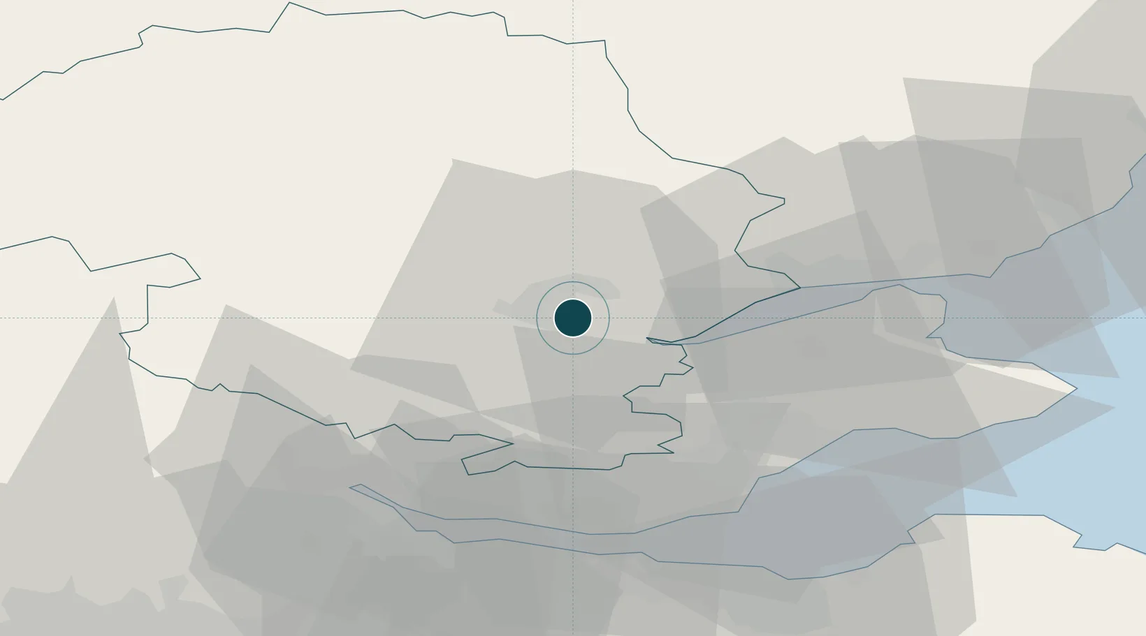
Location
Nearby Logistics Neighbours
Ports
- 1Dundee32 km
- 2Methil37 km
- 3Burntisland41 km
- 4Braefoot Bay Terminal42 km
- 5Rosyth43 km
Cities
- 1Milton Bridge8 km
- 2Inchture18 km
- 3Lasswade18 km
- 4Crieff24 km
- 5Scotlandwell24 km
Airports
- 1Dundee Airport27 km
- 2Leuchars Station Airfield36 km
- 3Edinburgh Airport50 km
- 4Glasgow Airport85 km
- 5Aberdeen International Airport117 km
Trade Zones
DatabookThe Record of Consolidated Knowledge
United Kingdom beyond logistics?