Transport Functions
Port
Road
Hub Profile
Place type
Populated place
Region
Scotland
Time zone
Europe/London
Elevation
113 m
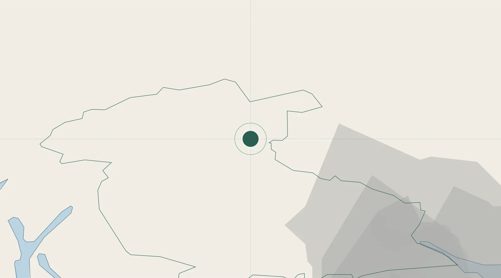
Location
Nearby Logistics Neighbours
Cities
- 1Powmill23 km
- 2Crieff28 km
- 3Bridge of Orchy32 km
- 4Finnart33 km
- 5Stirling36 km
Ports
- 1Finnart Oil Terminal45 km
- 2Faslane49 km
- 3Perth51 km
- 4Bowling52 km
- 5Old Kilpatrick53 km
Airports
- 1Glasgow Airport58 km
- 2Oban Airport69 km
- 3Edinburgh Airport74 km
- 4Dundee Airport78 km
- 5Leuchars Station Airfield87 km
Trade Zones
DatabookThe Record of Consolidated Knowledge
United Kingdom beyond logistics?