Channel & Berth Profile
Pilotage, Tugs & Services
Pilotage compulsoryYES
Pilotage availableYES
Pilotage advisableYES
Local assistanceYES
Tug assistanceNO
Garbage disposalYES
Facilities & Capabilities
Container—
Ro-Ro—
Liquid bulk—
Dry bulk—
Oil terminal—
Break bulk—
Dry dock—
Repairs—
Bunkering—
Rail link—
Dangerous cargo—
ISPS security—
Harbour Specifications
Harbour size
Very Small
Harbour type
River (Natural)
Shelter
Good
Water body
North Atlantic Ocean
Tidal range
4 m
Pilotage
Yes
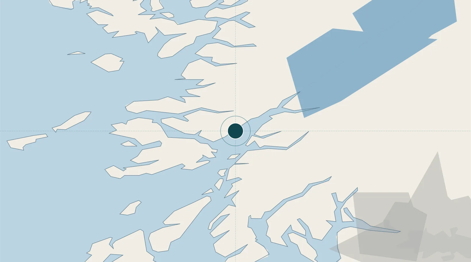
Location
Nearby Logistics Neighbours
Ports
- 1Lochaline14 km
- 2Craignure15 km
- 3Oban17 km
- 4Tobermory33 km
- 5Fort William38 km
Cities
- 1Point, Island of Lismore6 km
- 2Achnacroish8 km
- 3Port Appin8 km
- 4Lismore Island9 km
- 5Appin11 km
Airports
- 1Oban Airport14 km
- 2Coll Airport67 km
- 3Colonsay Airstrip72 km
- 4Tiree Airport82 km
- 5Glasgow Airport103 km
Trade Zones
DatabookThe Record of Consolidated Knowledge
United Kingdom beyond logistics?