Large airport · United Kingdom
Glasgow AirportEGPF
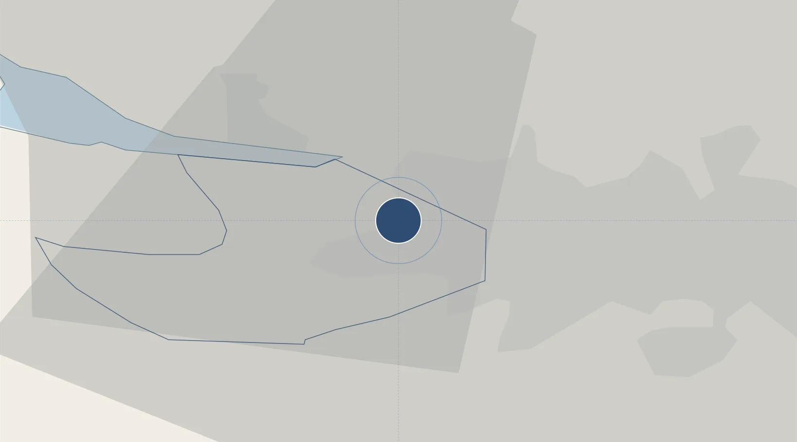
55.8719°, -4.4331°
8,730 ft
Longest runway
1
Runways
26 ft
Elevation
Runway & Layout

Radio Frequencies
ATIS
129.58 MHz
TWR
118.805 MHz
Glasgow Tower
GND
121.705 MHz
APP
119.105 MHz
ACC
120.35 MHz
SHANWICK OCEANIC
Everything
455.837 MHz
Navaids
GLW NDB Glasgow 331 kHz
GOW VOR-DME Glasgow 115.40 MHz
Runways · 1
| Runway | Dimensions | Surface | True heading | Lit |
|---|---|---|---|---|
| 05/23 | 8,730 × 148ft | Asphalt | 046° | ✓ |
Airport Specifications
IATA code
GLA
ICAO code
EGPF
Airport class
Large airport
Scheduled service
Yes
Runway surface
Asphalt
Served city
Glasgow
Location
Nearby Logistics Neighbours
Airports
- 1Glasgow Prestwick Airport42 km
- 2Edinburgh Airport67 km
- 3Oban Airport89 km
- 4Campbeltown Airport92 km
- 5Dundee Airport108 km
Cities
- 1Georgetown2 km
- 2Renfrew2 km
- 3Clydebank4 km
- 4Old Kilpatrick5 km
- 5Bowling6 km
Ports
- 1Renfrew3 km
- 2Old Kilpatrick5 km
- 3Bowling8 km
- 4Glasgow9 km
- 5Greenock22 km
Trade Zones
DatabookThe Record of Consolidated Knowledge
United Kingdom beyond logistics?