UN/LOCODE hub · United Kingdom
GBFWM
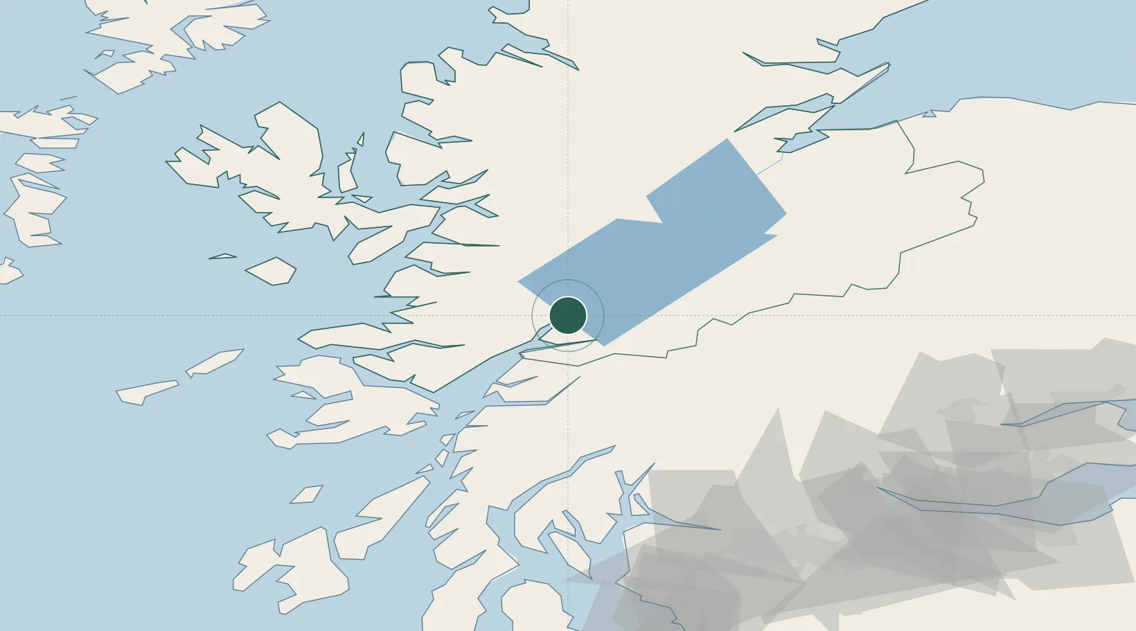
Fort William
56.8167°, -5.1167°
5,830
Population
3
Transport functions
Transport Functions
Port
Rail
Road
Hub Profile
Place type
Populated place
Region
Scotland
Population
5,830
Time zone
Europe/London
Elevation
24 m
Location
Nearby Logistics Neighbours
Cities
- 1Camusnagaul2 km
- 2Corpach4 km
- 3Corran13 km
- 4Ardgour14 km
- 5Kinlochleven15 km
Airports
- 1Oban Airport43 km
- 2Coll Airport95 km
- 3Inverness Airport103 km
- 4Colonsay Airstrip109 km
- 5Tiree Airport113 km
Trade Zones
DatabookThe Record of Consolidated Knowledge
United Kingdom beyond logistics?