UN/LOCODE hub · United Kingdom
GBDIW
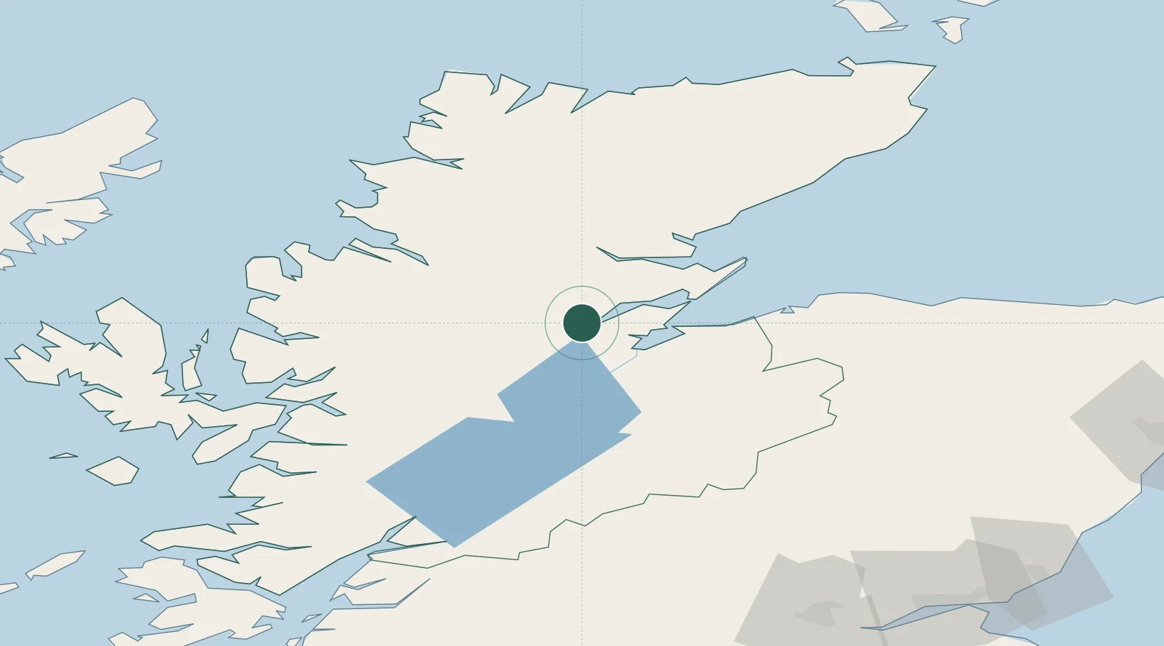
Dingwall
57.6000°, -4.4500°
5,520
Population
3
Transport functions
Transport Functions
Port
Rail
Road
Hub Profile
Place type
Populated place
Region
Scotland
Population
5,520
Time zone
Europe/London
Elevation
9 m
Location
Nearby Logistics Neighbours
Ports
- 1Inverness18 km
- 2Invergordon19 km
- 3Cromarty27 km
- 4Portmahomack Harbor45 km
- 5Ullapool53 km
Airports
- 1Inverness Airport25 km
- 2RAF Lossiemouth67 km
- 3Wick John O'Groats Airport125 km
- 4Stornoway Airport131 km
- 5Oban Airport139 km
Trade Zones
DatabookThe Record of Consolidated Knowledge
United Kingdom beyond logistics?