Transport Functions
Port
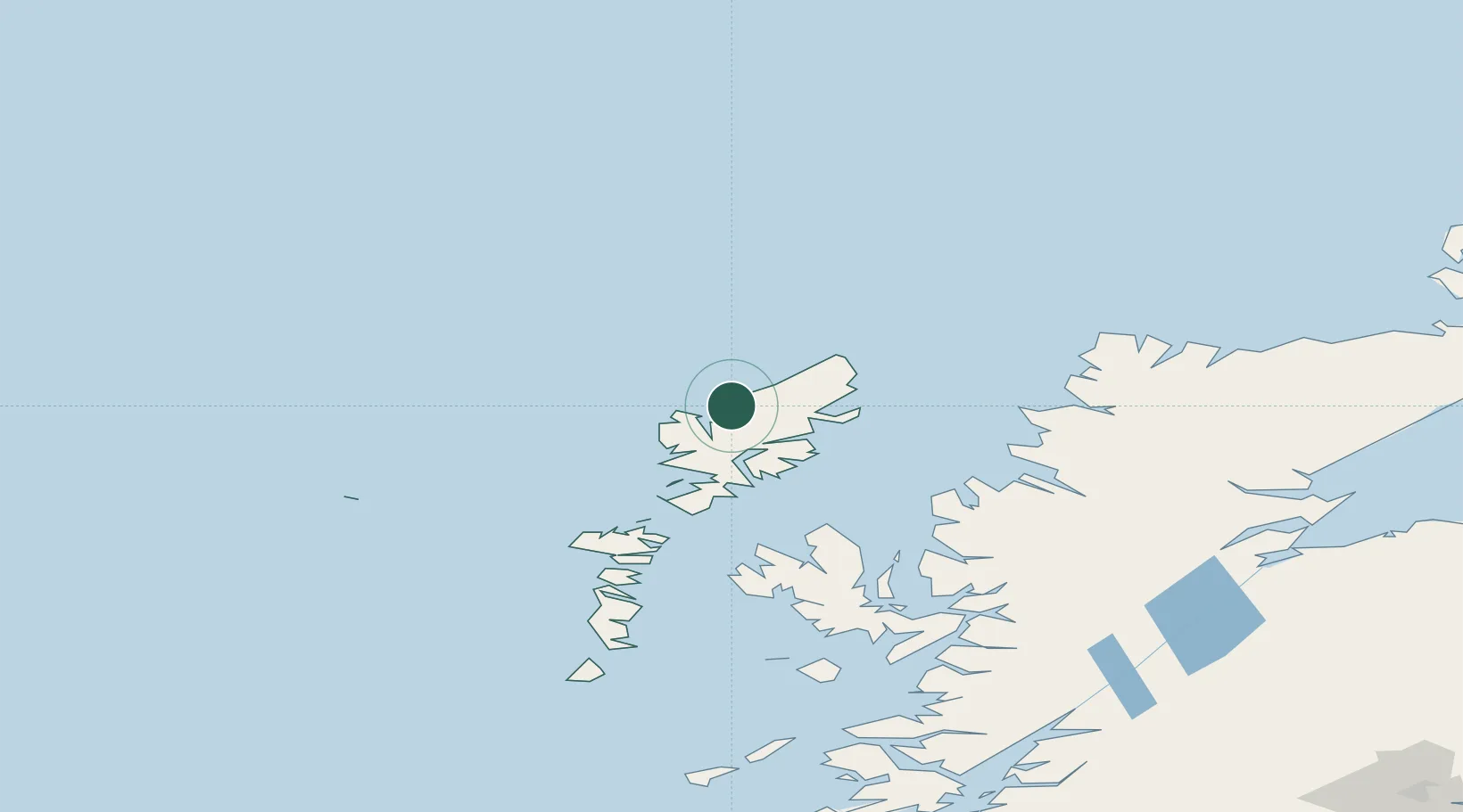
Hub Profile
Place type
Populated place
Region
Scotland
Time zone
Europe/London
Elevation
75 m
Location
Nearby Logistics Neighbours
Cities
- 1Breasclete8 km
- 2Bernera (Lewis)16 km
- 3Stornoway24 km
- 4North Lochs25 km
- 5Lochs25 km
Ports
- 1Stornoway Harbor25 km
- 2Tarbert41 km
- 3Lochmaddy78 km
- 4Uig80 km
- 5Aultbea85 km
Airports
- 1Stornoway Airport26 km
- 2Benbecula Airport94 km
- 3Barra Airport144 km
- 4Inverness Airport180 km
- 5Coll Airport185 km
Trade Zones
DatabookThe Record of Consolidated Knowledge
United Kingdom beyond logistics?