UN/LOCODE hub · United Kingdom
GBCNS
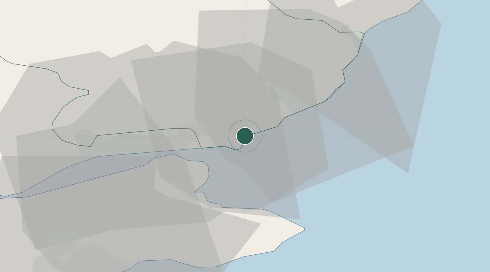
Carnoustie
56.5000°, -2.7167°
11,430
Population
1
Transport functions
Transport Functions
Rail
Hub Profile
Place type
Populated place
Region
Scotland
Population
11,430
Time zone
Europe/London
Elevation
15 m
Location
Nearby Logistics Neighbours
Cities
- 1Arbroath11 km
- 2Tayport12 km
- 3Dundee15 km
- 4St Andrews19 km
- 5Charleston20 km
Airports
- 1Leuchars Station Airfield17 km
- 2Dundee Airport20 km
- 3Edinburgh Airport73 km
- 4Aberdeen International Airport84 km
- 5Glasgow Airport127 km
Trade Zones
DatabookThe Record of Consolidated Knowledge
United Kingdom beyond logistics?