Transport Functions
Port
Hub Profile
Place type
Populated place
Region
Scotland
Time zone
Europe/London
Elevation
135 m
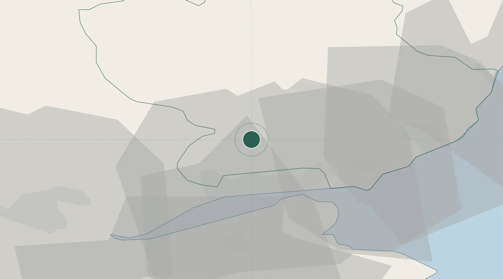
Location
Nearby Logistics Neighbours
Cities
- 1Dundee10 km
- 2Tayport17 km
- 3Lasswade17 km
- 4Inchture20 km
- 5Carnoustie20 km
Ports
- 1Dundee13 km
- 2Perth34 km
- 3Montrose35 km
- 4Methil45 km
- 5Burntisland61 km
Airports
- 1Dundee Airport15 km
- 2Leuchars Station Airfield25 km
- 3Edinburgh Airport74 km
- 4Aberdeen International Airport84 km
- 5Glasgow Airport119 km
Trade Zones
DatabookThe Record of Consolidated Knowledge
United Kingdom beyond logistics?