UN/LOCODE hub · United Kingdom
GBDUN
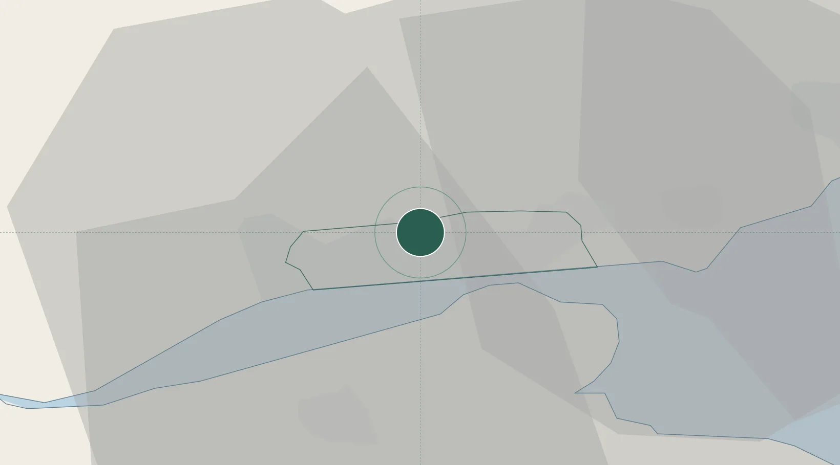
Dundee
56.5000°, -2.9667°
148,210
Population
2
Transport functions
Transport Functions
Port
Airport
Hub Profile
Place type
Provincial seat
Region
Scotland
Population
148,210
Time zone
Europe/London
Elevation
77 m
Location
Nearby Logistics Neighbours
Cities
- 1Tayport8 km
- 2Charleston10 km
- 3Lasswade14 km
- 4Inchture14 km
- 5Carnoustie15 km
Ports
- 1Perth32 km
- 2Methil35 km
- 3Montrose38 km
- 4Burntisland53 km
- 5Braefoot Bay Terminal56 km
Airports
- 1Dundee Airport6 km
- 2Leuchars Station Airfield15 km
- 3Edinburgh Airport66 km
- 4Aberdeen International Airport91 km
- 5Glasgow Airport115 km
Trade Zones
DatabookThe Record of Consolidated Knowledge
United Kingdom beyond logistics?