Channel & Berth Profile
Pilotage, Tugs & Services
Pilotage compulsoryNO
Pilotage availableNO
Local assistanceYES
Tug assistanceNO
Salvage tugsNO
Potable waterYES
Diesel bunkersYES
MedicalYES
Facilities & Capabilities
Container—
Ro-Ro—
Liquid bulk—
Dry bulk—
Oil terminal—
Break bulk—
Dry dock—
RepairsNO
BunkeringYES
Rail linkYES
Dangerous cargo—
ISPS security—
Harbour Specifications
Harbour size
Very Small
Harbour type
Coastal (Breakwater)
Shelter
Fair
Water body
North Sea; North Atlantic Ocean
Tidal range
3 m
Pilotage
No
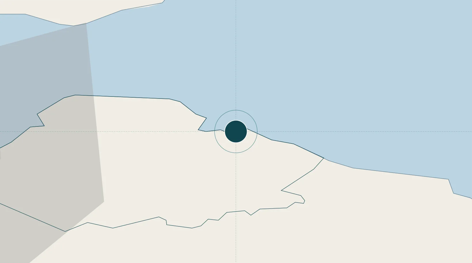
Location
Nearby Logistics Neighbours
Ports
- 1Eyemouth31 km
- 2Methil36 km
- 3Berwick-Upon-Tweed41 km
- 4Leith42 km
- 5Granton44 km
Cities
- 1Cockburnspath12 km
- 2Cove13 km
- 3Cove (Leith)13 km
- 4North Berwick15 km
- 5Gullane19 km
Airports
- 1Leuchars Station Airfield47 km
- 2Edinburgh Airport54 km
- 3Dundee Airport59 km
- 4RAF Spadeadam106 km
- 5Newcastle International Airport119 km
Trade Zones
DatabookThe Record of Consolidated Knowledge
United Kingdom beyond logistics?