Transport Functions
Port
Road
Airport
Hub Profile
Place type
Urban district
Region
England
Time zone
Europe/London
Elevation
25 m
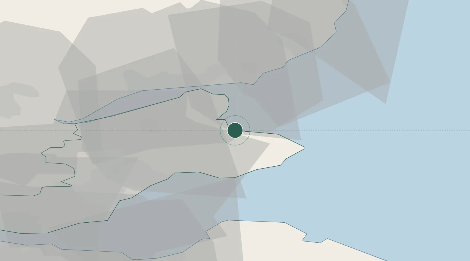
Location
Nearby Logistics Neighbours
Cities
- 1Crail12 km
- 2Saint Monance (Saint Monans)13 km
- 3Pittenweem13 km
- 4Cellardyke14 km
- 5Anstruther14 km
Ports
- 1Dundee18 km
- 2Methil21 km
- 3Dunbar41 km
- 4Perth42 km
- 5Burntisland42 km
Airports
- 1Leuchars Station Airfield7 km
- 2Dundee Airport20 km
- 3Edinburgh Airport56 km
- 4Aberdeen International Airport103 km
- 5Glasgow Airport114 km
Trade Zones
DatabookThe Record of Consolidated Knowledge
United Kingdom beyond logistics?