UN/LOCODE hub · United Kingdom
GBARB
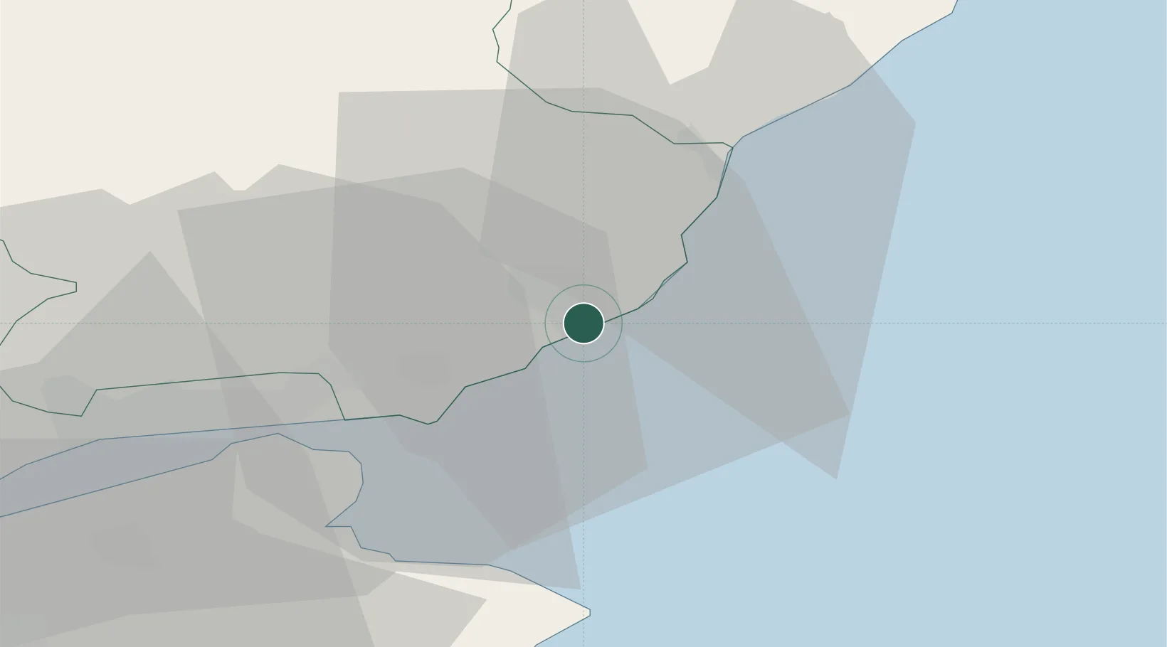
Arbroath
56.5667°, -2.5833°
23,640
Population
1
Transport functions
Transport Functions
Port
Hub Profile
Place type
Populated place
Region
Scotland
Population
23,640
Time zone
Europe/London
Elevation
10 m
Location
Nearby Logistics Neighbours
Cities
- 1Carnoustie11 km
- 2Montrose17 km
- 3Tayport23 km
- 4Dundee25 km
- 5Charleston26 km
Airports
- 1Leuchars Station Airfield28 km
- 2Dundee Airport30 km
- 3Aberdeen International Airport74 km
- 4Edinburgh Airport84 km
- 5RAF Lossiemouth135 km
Trade Zones
DatabookThe Record of Consolidated Knowledge
United Kingdom beyond logistics?