Channel & Berth Profile
Pilotage, Tugs & Services
Pilotage compulsoryNO
Pilotage availableYES
Pilotage advisableYES
Tug assistanceYES
Potable waterYES
Diesel bunkersYES
MedicalYES
Facilities & Capabilities
Container—
Ro-Ro—
Liquid bulk—
Dry bulk—
Oil terminal—
Break bulk—
Dry dock—
RepairsNO
BunkeringYES
Rail linkYES
Dangerous cargo—
ISPS security—
Harbour Specifications
Harbour size
Small
Harbour type
Coastal (Tide Gates)
Shelter
Good
Water body
North Sea; North Atlantic Ocean
Tidal range
3 m
Overhead limit
Yes
Pilotage
No
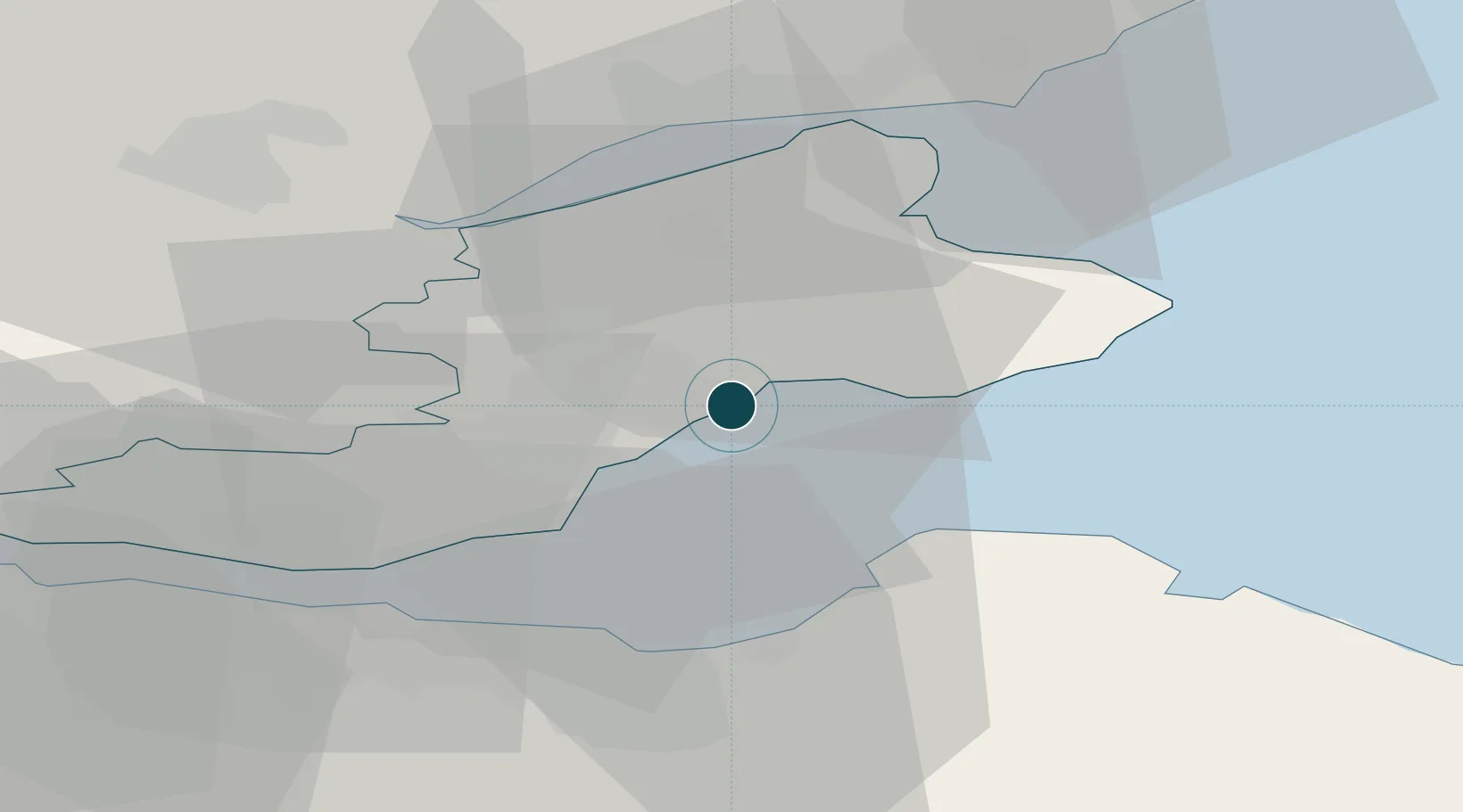
Location
Nearby Logistics Neighbours
Ports
- 1Burntisland21 km
- 2Leith25 km
- 3Braefoot Bay Terminal26 km
- 4Granton26 km
- 5Hound Point Terminal31 km
Cities
- 1Largo5 km
- 2West Wemyss8 km
- 3Dysart9 km
- 4Elie12 km
- 5Kirkcaldy12 km
Airports
- 1Leuchars Station Airfield23 km
- 2Dundee Airport30 km
- 3Edinburgh Airport35 km
- 4Glasgow Airport96 km
- 5Aberdeen International Airport123 km
Trade Zones
DatabookThe Record of Consolidated Knowledge
United Kingdom beyond logistics?