Large airport · United Kingdom

Edinburgh AirportEGPH
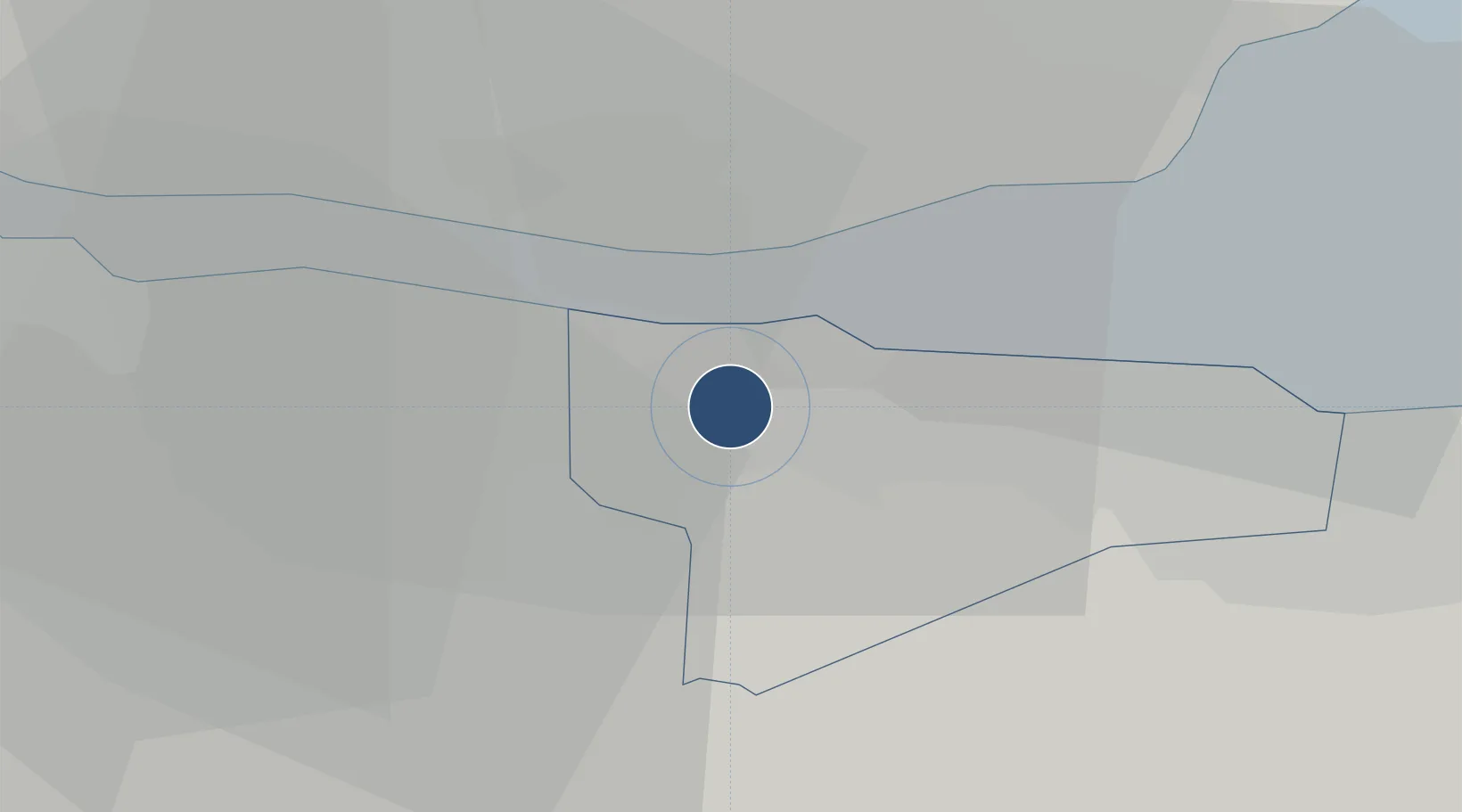
55.9501°, -3.3723°
8,392 ft
Longest runway
1
Runways
135 ft
Elevation

Runway & Layout

Edinburgh Airport runway & taxiway layout
Runway & taxiway layout — OpenStreetMap (ODbL) / OurAirports

Radio Frequencies

ATIS
131.35 MHz
TWR
118.7 MHz
GND
121.75 MHz
APP
121.2 MHz
OurAirports

Navaids

EDN NDB Edinburgh 341 kHz
UW NDB Edinburgh 368 kHz
OurAirports

Runways · 1

RunwayDimensions SurfaceTrue headingLit
06/24 8,392 × 148ft Asphalt 059°
OurAirports

Airport Specifications

IATA code
EDI
OurAirports
ICAO code
EGPH
OurAirports
Airport class
Large airport
OurAirports
Scheduled service
Yes
OurAirports
Runway surface
Asphalt
OurAirports
Served city
Edinburgh
OurAirports

Location

Location of EGPH
Natural Earth 10m (public domain) · Edinburgh · EGPH · 55.95, -3.37GoogleOSMYandex

Nearby Logistics Neighbours

Airports
  1. 1Leuchars Station Airfield57 km
  2. 2Dundee Airport60 km
  3. 3Glasgow Airport67 km
  4. 4Glasgow Prestwick Airport90 km
  5. 5RAF Spadeadam113 km
Nearest neighbours — logibook spatial index (haversine) over the source coordinates
Cities
  1. 1South Queensferry4 km
  2. 2Port Edgar5 km
  3. 3Cramond6 km
  4. 4Inverkeithing8 km
  5. 5North Queensferry8 km
Nearest neighbours — logibook spatial index (haversine) over the source coordinates
Ports
  1. 1Hound Point Terminal6 km
  2. 2Rosyth8 km
  3. 3Braefoot Bay Terminal10 km
  4. 4Granton10 km
  5. 5Leith12 km
Nearest neighbours — logibook spatial index (haversine) over the source coordinates
Trade Zones
  1. 1Prestwick Airport Free Zone92 km
  2. 2Carlisle Kingmoor Park Enterprise Zone116 km
  3. 3North Eastern Enterprise Zone155 km
  4. 4Tees Valley Enterprise Zone204 km
  5. 5Isle of Man Free Zone and Business Park222 km
Nearest neighbours — logibook spatial index (haversine) over the source coordinates
DatabookThe Record of Consolidated Knowledge
United Kingdom beyond logistics?
Browse databook

All Sources

AirportsOurAirports
Public domain
Portsthe NGA World Port Index
Public domain (US gov)
LocationsUN/LOCODE
UN/LOCODE — free
Trade Zonesthe World Bank SEZ database
CC BY 4.0
Trade ZonesOpen Zone Map
CC BY
InfrastructureOpenStreetMap
ODbL 1.0
← United Kingdom airports