Transport Functions
Port
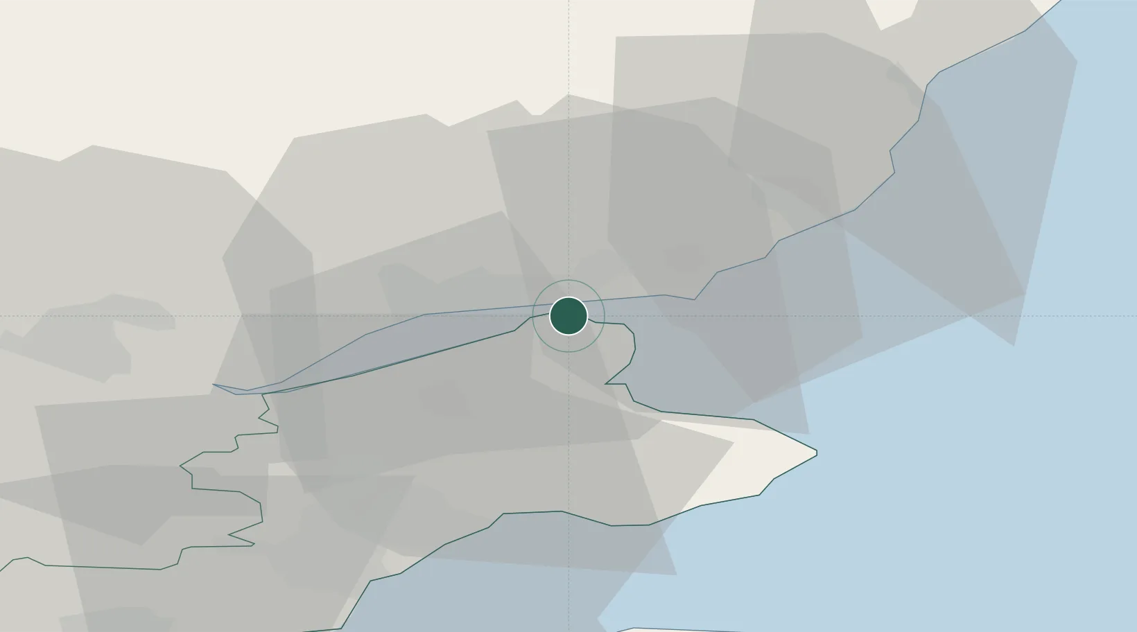
Hub Profile
Place type
Populated place
Region
Scotland
Population
3,920
Time zone
Europe/London
Elevation
19 m
Location
Nearby Logistics Neighbours
Cities
- 1Dundee8 km
- 2Carnoustie12 km
- 3St Andrews14 km
- 4Charleston17 km
- 5Inchture18 km
Ports
- 1Dundee5 km
- 2Methil31 km
- 3Perth35 km
- 4Montrose38 km
- 5Burntisland50 km
Airports
- 1Leuchars Station Airfield9 km
- 2Dundee Airport9 km
- 3Edinburgh Airport63 km
- 4Aberdeen International Airport93 km
- 5Glasgow Airport116 km
Trade Zones
DatabookThe Record of Consolidated Knowledge
United Kingdom beyond logistics?