UN/LOCODE hub · United Kingdom
GBMON
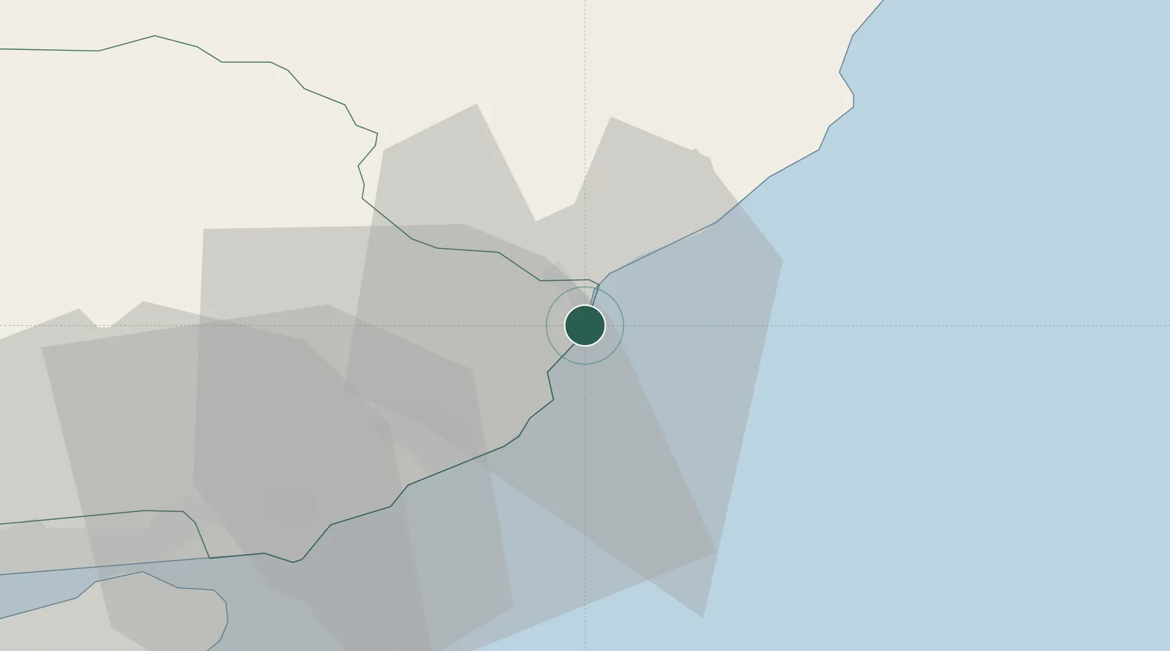
Montrose
56.7000°, -2.4500°
11,880
Population
1
Transport functions
Transport Functions
Port
Hub Profile
Place type
Populated place
Region
Scotland
Population
11,880
Time zone
Europe/London
Elevation
11 m
Location
Nearby Logistics Neighbours
Cities
- 1Johnshaven13 km
- 2Arbroath17 km
- 3Gourdon18 km
- 4Carnoustie28 km
- 5Stonehaven33 km
Airports
- 1Leuchars Station Airfield44 km
- 2Dundee Airport45 km
- 3Aberdeen International Airport58 km
- 4Edinburgh Airport101 km
- 5RAF Lossiemouth124 km
Trade Zones
DatabookThe Record of Consolidated Knowledge
United Kingdom beyond logistics?