Transport Functions
Road
Multimodal
Hub Profile
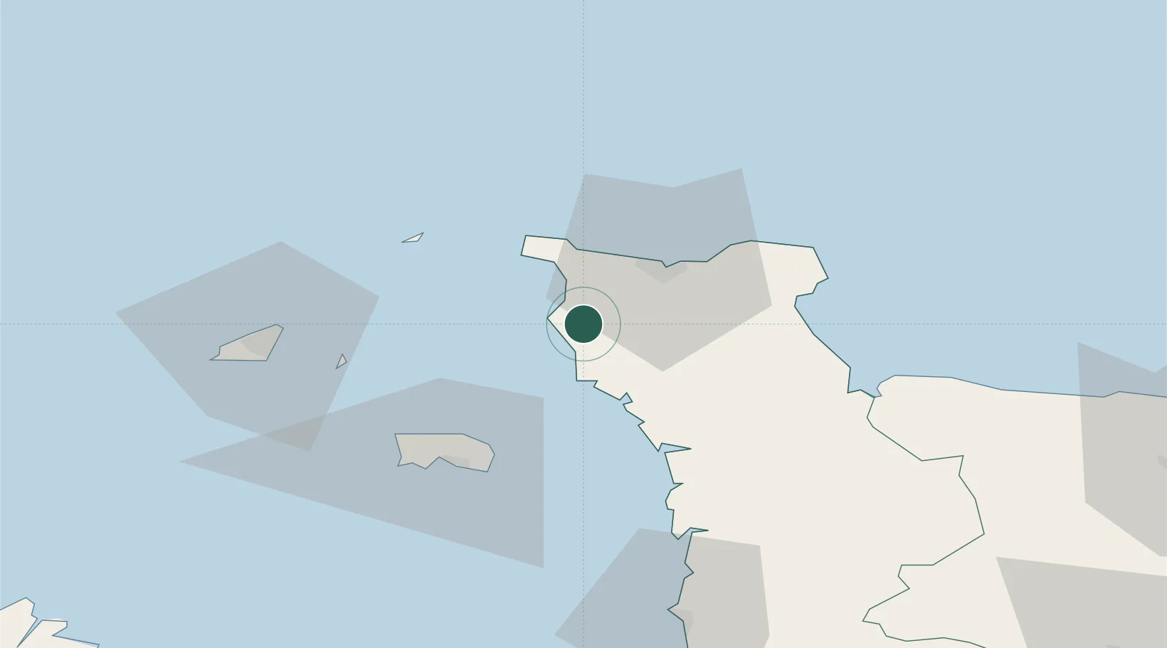
Place type
Populated place
Region
Normandy
Population
3,413
Time zone
Europe/Paris
Elevation
117 m
Location
Nearby Logistics Neighbours
Cities
- 1La Hague15 km
- 2Querqueville18 km
- 3Cherbourg-en-Cotentin19 km
- 4Tourlaville21 km
- 5Le Mesnil-au-Val21 km
Ports
- 1Rade De Cherbourg19 km
- 2Alderney Harbour38 km
- 3Saint Helier Harbour44 km
- 4Saint Sampson52 km
- 5Saint Peter Port54 km
Airports
- 1Cherbourg Manche airport28 km
- 2Alderney Airport37 km
- 3Jersey Airport45 km
- 4Guernsey Airport59 km
- 5Granville Airport73 km
Trade Zones
- 1ZFU Cherbourg-Octeville17 km
- 2ZFU La Guérinière, La Grâce de Dieu107 km
- 3ZFU Hérouville-Saint-Clair111 km
- 4Dorset Innovation Park134 km
- 5ZFU Le Havre139 km
DatabookThe Record of Consolidated Knowledge
France beyond logistics?