UN/LOCODE hub · France
FRF2V

Fermanville

49.6833°, -1.4500°
1,451
Population
1
Transport functions

Transport Functions

Port
UN/LOCODE

Hub Profile

Place type
Populated place
GeoNames
Region
Normandy
GeoNames
Population
1,451
GeoNames
Time zone
Europe/Paris
GeoNames
Elevation
18 m
GeoNames

Location

Location of FRF2V
Natural Earth 10m (public domain) · Normandy · FRF2V · 49.68, -1.45GoogleOSMYandex

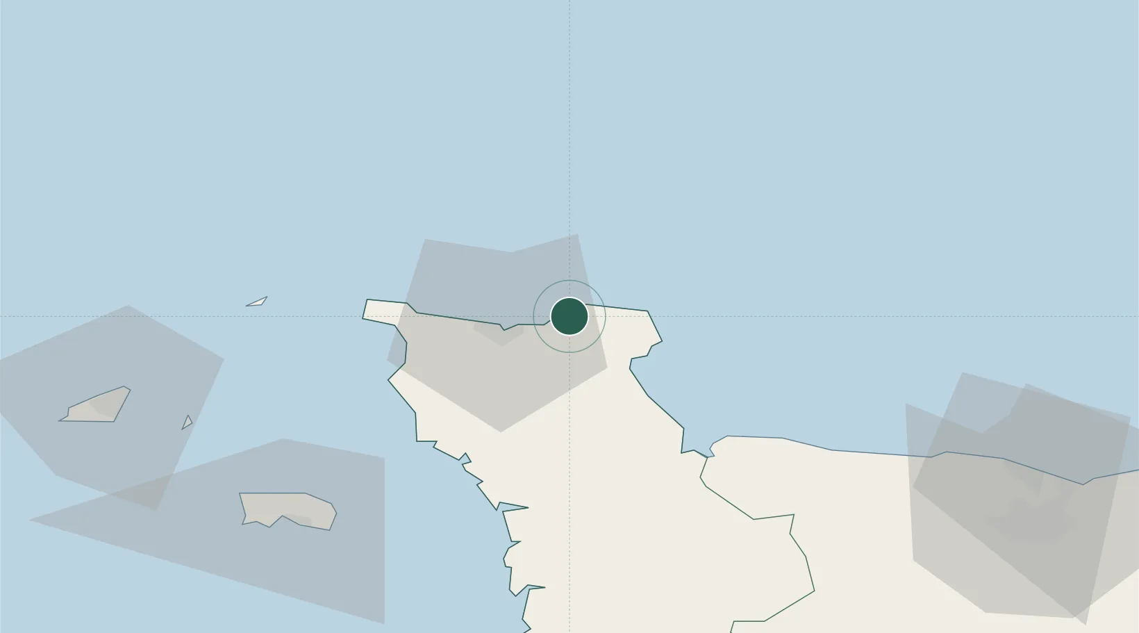
Nearby Logistics Neighbours

Cities
  1. 1Gonneville6 km
  2. 2Tourlaville10 km
  3. 3Le Mesnil-au-Val11 km
  4. 4Gatteville-le-Phare12 km
  5. 5Cherbourg-en-Cotentin13 km
Nearest neighbours — logibook spatial index (haversine) over the source coordinates
Ports
  1. 1Rade De Cherbourg14 km
  2. 2Alderney Harbour54 km
  3. 3Saint Helier Harbour74 km
  4. 4Saint Sampson80 km
  5. 5Saint Peter Port82 km
Nearest neighbours — logibook spatial index (haversine) over the source coordinates
Airports
  1. 1Cherbourg Manche airport4 km
  2. 2Alderney Airport55 km
  3. 3Jersey Airport76 km
  4. 4Guernsey Airport88 km
  5. 5Granville Airport89 km
Nearest neighbours — logibook spatial index (haversine) over the source coordinates
Trade Zones
  1. 1ZFU Cherbourg-Octeville16 km
  2. 2ZFU La Guérinière, La Grâce de Dieu94 km
  3. 3ZFU Hérouville-Saint-Clair96 km
  4. 4ZFU Le Havre115 km
  5. 5Dorset Innovation Park125 km
Nearest neighbours — logibook spatial index (haversine) over the source coordinates
DatabookThe Record of Consolidated Knowledge
France beyond logistics?
Browse databook

All Sources

LocationsUN/LOCODE
UN/LOCODE — free
LocationsGeoNames
CC BY 4.0
Portsthe NGA World Port Index
Public domain (US gov)
AirportsOurAirports
Public domain
Trade Zonesthe World Bank SEZ database
CC BY 4.0
Trade ZonesOpen Zone Map
CC BY
← France locations