UN/LOCODE hub · France
FRGTH

Huberville

49.5167°, -1.4167°
290
Population
1
Transport functions

Transport Functions

Multimodal
UN/LOCODE

Hub Profile

Place type
Populated place
GeoNames
Region
Normandy
GeoNames
Population
290
GeoNames
Time zone
Europe/Paris
GeoNames
Elevation
51 m
GeoNames

Location

Location of FRGTH
Natural Earth 10m (public domain) · Normandy · FRGTH · 49.52, -1.42GoogleOSMYandex

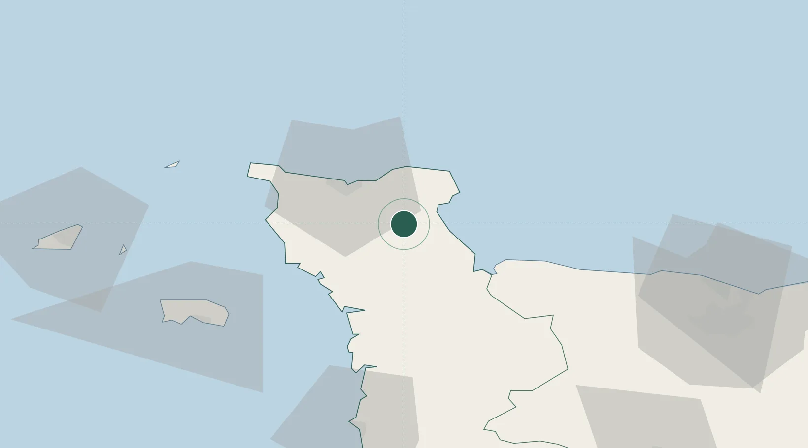
Nearby Logistics Neighbours

Cities
  1. 1Fontenay-sur-Mer8 km
  2. 2Le Mesnil-au-Val13 km
  3. 3Gonneville14 km
  4. 4Tourlaville17 km
  5. 5Fermanville19 km
Nearest neighbours — logibook spatial index (haversine) over the source coordinates
Ports
  1. 1Rade De Cherbourg22 km
  2. 2Alderney Harbour61 km
  3. 3Saint Helier Harbour63 km
  4. 4Granville77 km
  5. 5Saint Sampson80 km
Nearest neighbours — logibook spatial index (haversine) over the source coordinates
Airports
  1. 1Cherbourg Manche airport15 km
  2. 2Alderney Airport61 km
  3. 3Jersey Airport66 km
  4. 4Granville Airport71 km
  5. 5Caen Carpiquet airport79 km
Nearest neighbours — logibook spatial index (haversine) over the source coordinates
Trade Zones
  1. 1ZFU Cherbourg-Octeville23 km
  2. 2ZFU La Guérinière, La Grâce de Dieu82 km
  3. 3ZFU Hérouville-Saint-Clair85 km
  4. 4ZFU Le Havre111 km
  5. 5Dorset Innovation Park143 km
Nearest neighbours — logibook spatial index (haversine) over the source coordinates
DatabookThe Record of Consolidated Knowledge
France beyond logistics?
Browse databook

All Sources

LocationsUN/LOCODE
UN/LOCODE — free
LocationsGeoNames
CC BY 4.0
Portsthe NGA World Port Index
Public domain (US gov)
AirportsOurAirports
Public domain
Trade Zonesthe World Bank SEZ database
CC BY 4.0
Trade ZonesOpen Zone Map
CC BY
← France locations