UN/LOCODE hub · France
FRTLP
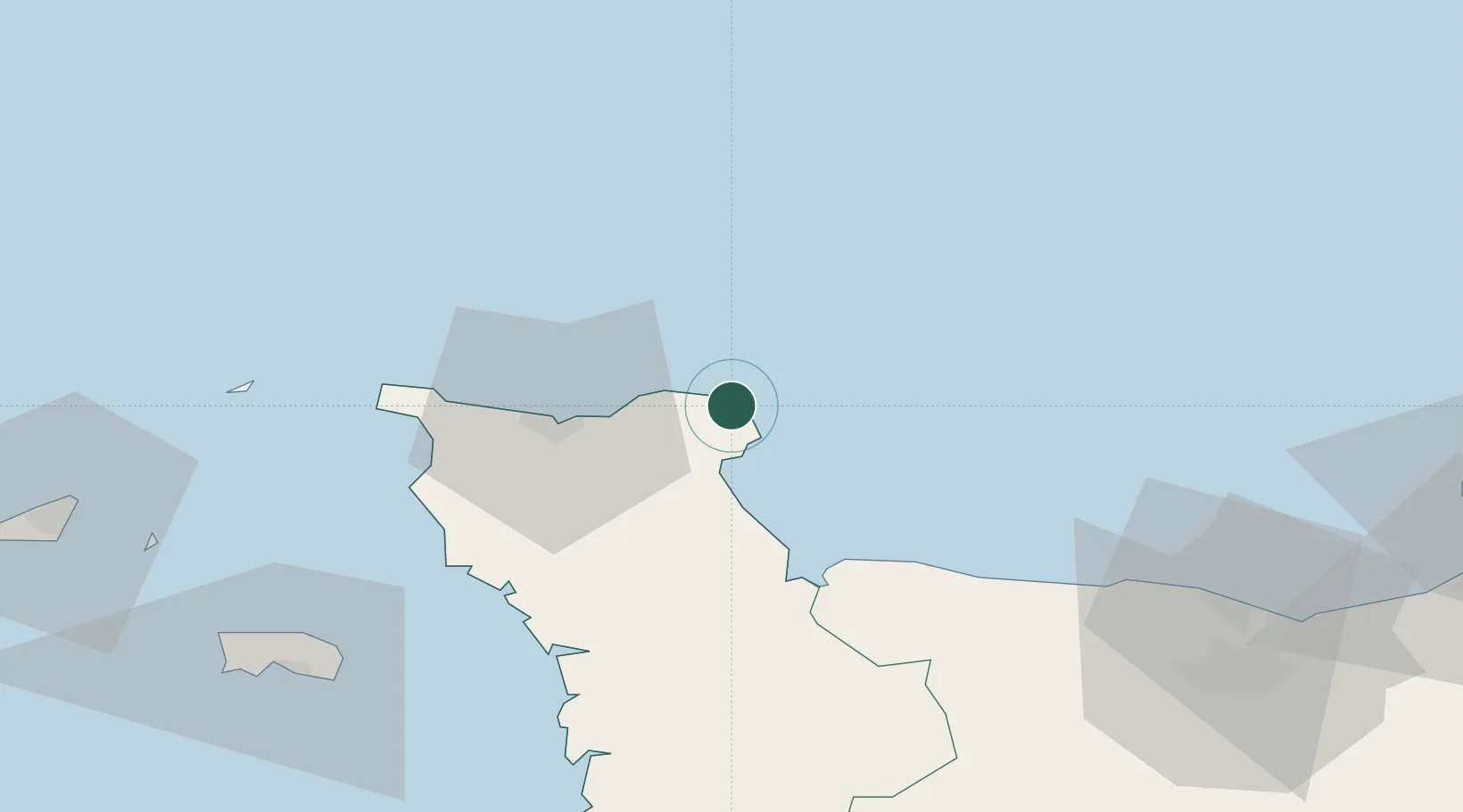
Gatteville-le-Phare
49.6833°, -1.2833°
583
Population
2
Transport functions
Transport Functions
Port
Road
Hub Profile
Place type
Populated place
Region
Normandy
Population
583
Time zone
Europe/Paris
Elevation
11 m
Location
Nearby Logistics Neighbours
Cities
- 1Barfleur2 km
- 2Fermanville12 km
- 3Gonneville14 km
- 4Le Mesnil-au-Val20 km
- 5Huberville21 km
Ports
- 1Rade De Cherbourg26 km
- 2Alderney Harbour66 km
- 3Saint Helier Harbour82 km
- 4Ouistreham87 km
- 5Port De Caen87 km
Airports
- 1Cherbourg Manche airport14 km
- 2Alderney Airport67 km
- 3Caen Carpiquet airport82 km
- 4Jersey Airport85 km
- 5Granville Airport91 km
Trade Zones
- 1ZFU Cherbourg-Octeville28 km
- 2ZFU La Guérinière, La Grâce de Dieu84 km
- 3ZFU Hérouville-Saint-Clair86 km
- 4ZFU Le Havre103 km
- 5Solent Enterprise Zone130 km
DatabookThe Record of Consolidated Knowledge
France beyond logistics?