UN/LOCODE hub · Dominican Republic
DONEI
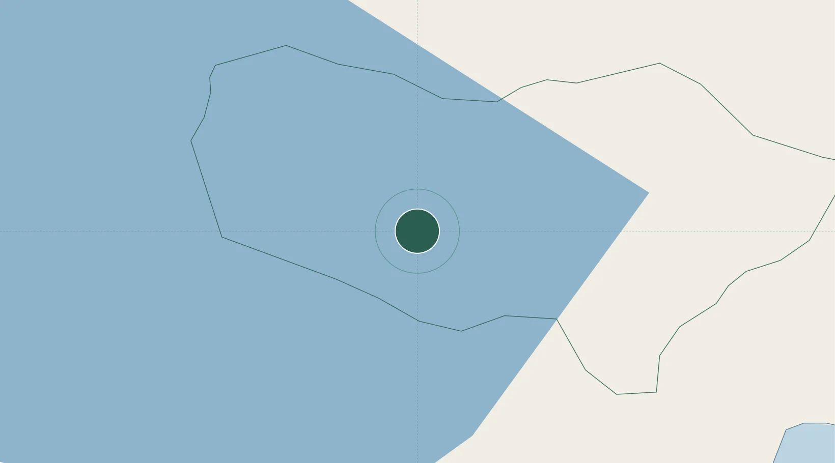
Neiba
18.4833°, -71.4167°
18,670
Population
2
Transport functions
Transport Functions
Rail
Road
Hub Profile
Place type
Regional capital
Region
Baoruco Province
Population
18,670
Time zone
America/Santo_Domingo
Elevation
50 m
Location
Nearby Logistics Neighbours
Cities
- 1Ocoa Bay38 km
- 2Puerto Viejo de Azua64 km
- 3Azua72 km
- 4Constanza85 km
- 5Turgeau95 km
Ports
- 1Santa Cruz De Barahona47 km
- 2Puerto Viejo De Azua63 km
- 3Cabo Rojo68 km
- 4Port Au Prince99 km
- 5Las Calderas100 km
Airports
Trade Zones
DatabookThe Record of Consolidated Knowledge
Dominican Republic beyond logistics?