UN/LOCODE hub · Dominican Republic
DOAZU
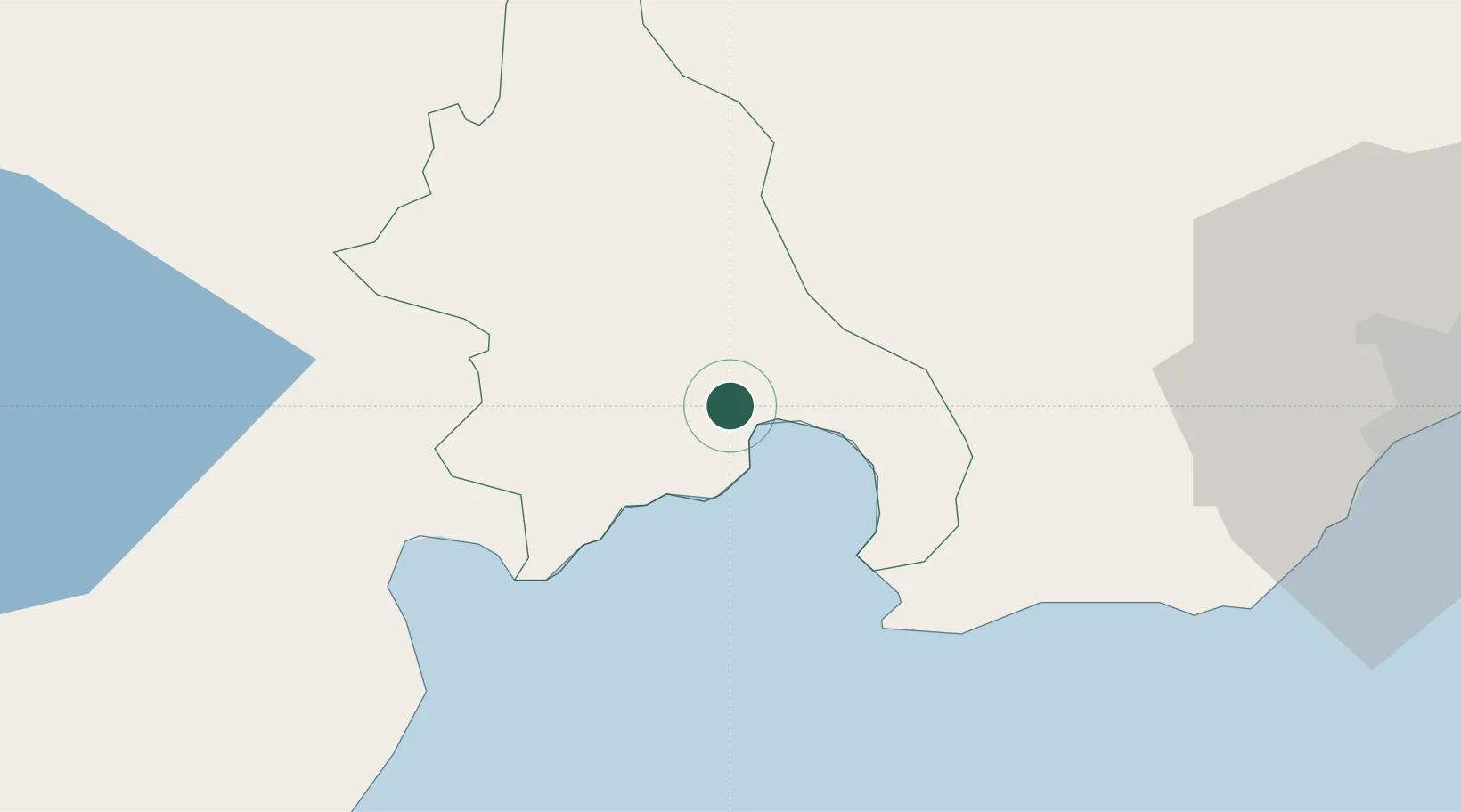
Azua
18.4500°, -70.7333°
59,139
Population
3
Transport functions
Transport Functions
Port
Road
Multimodal
Hub Profile
Place type
Regional capital
Region
Azua Province
Population
59,139
Time zone
America/Santo_Domingo
Elevation
86 m
Location
Nearby Logistics Neighbours
Cities
- 1Puerto Viejo de Azua17 km
- 2Las Calderas36 km
- 3Ocoa Bay41 km
- 4Baní46 km
- 5Higüey49 km
Ports
- 1Puerto Viejo De Azua15 km
- 2Las Calderas35 km
- 3Santa Cruz De Barahona46 km
- 4Puerto De Haina76 km
- 5Santo Domingo90 km
Airports
DatabookThe Record of Consolidated Knowledge
Dominican Republic beyond logistics?