UN/LOCODE hub · Dominican Republic
DOLVC
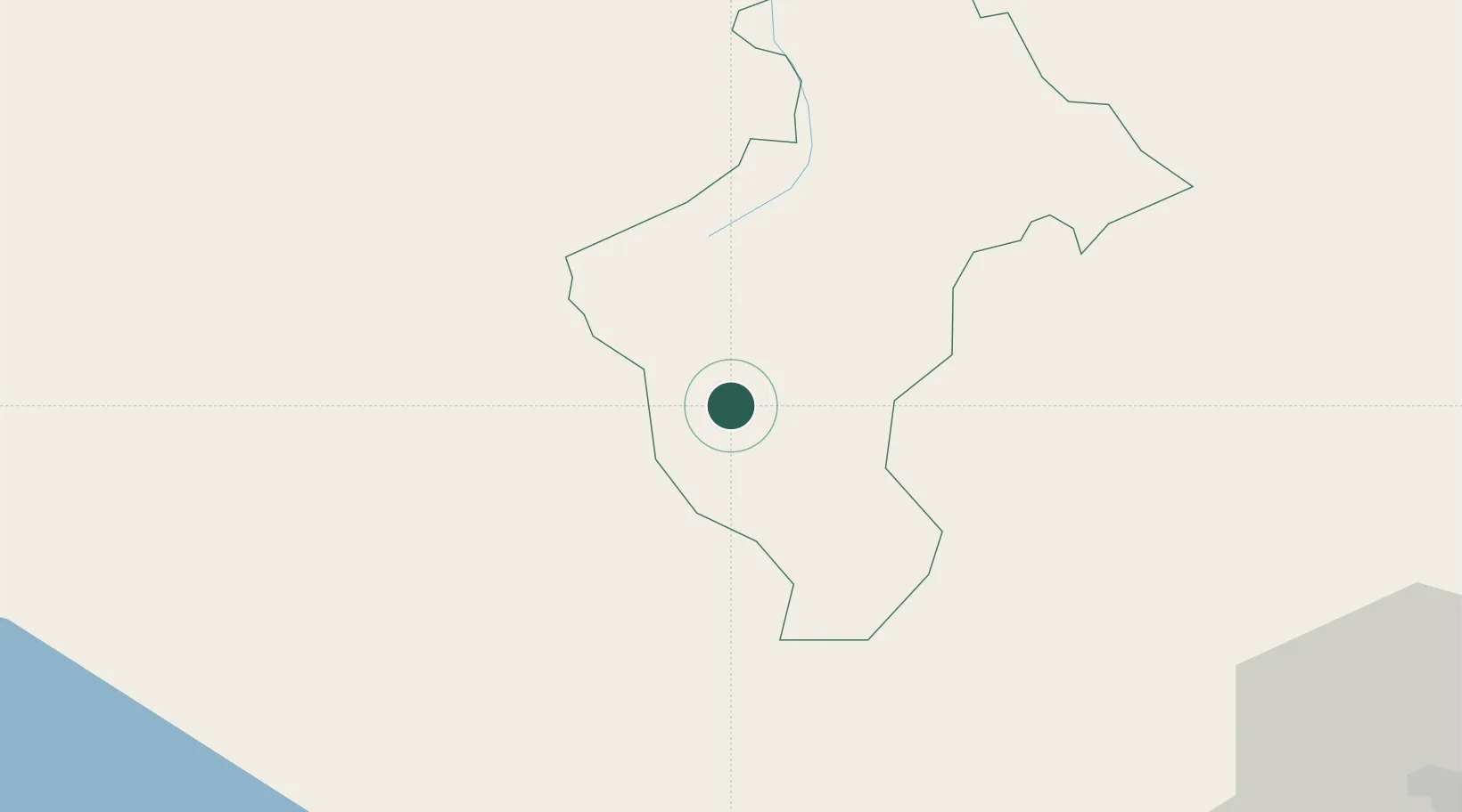
Constanza
18.9167°, -70.7500°
29,481
Population
1
Transport functions
Transport Functions
Multimodal
Hub Profile
Place type
Populated place
Region
La Vega
Population
29,481
Time zone
America/Santo_Domingo
Elevation
1,177 m
Location
Nearby Logistics Neighbours
Ports
- 1Puerto Viejo De Azua64 km
- 2Las Calderas82 km
- 3Santa Cruz De Barahona87 km
- 4Puerto De Haina95 km
- 5Puerto Plata98 km
Airports
DatabookThe Record of Consolidated Knowledge
Dominican Republic beyond logistics?