Transport Functions
Multimodal
Hub Profile
Place type
Urban district
Region
Ouest
Time zone
America/Port-au-Prince
Elevation
58 m
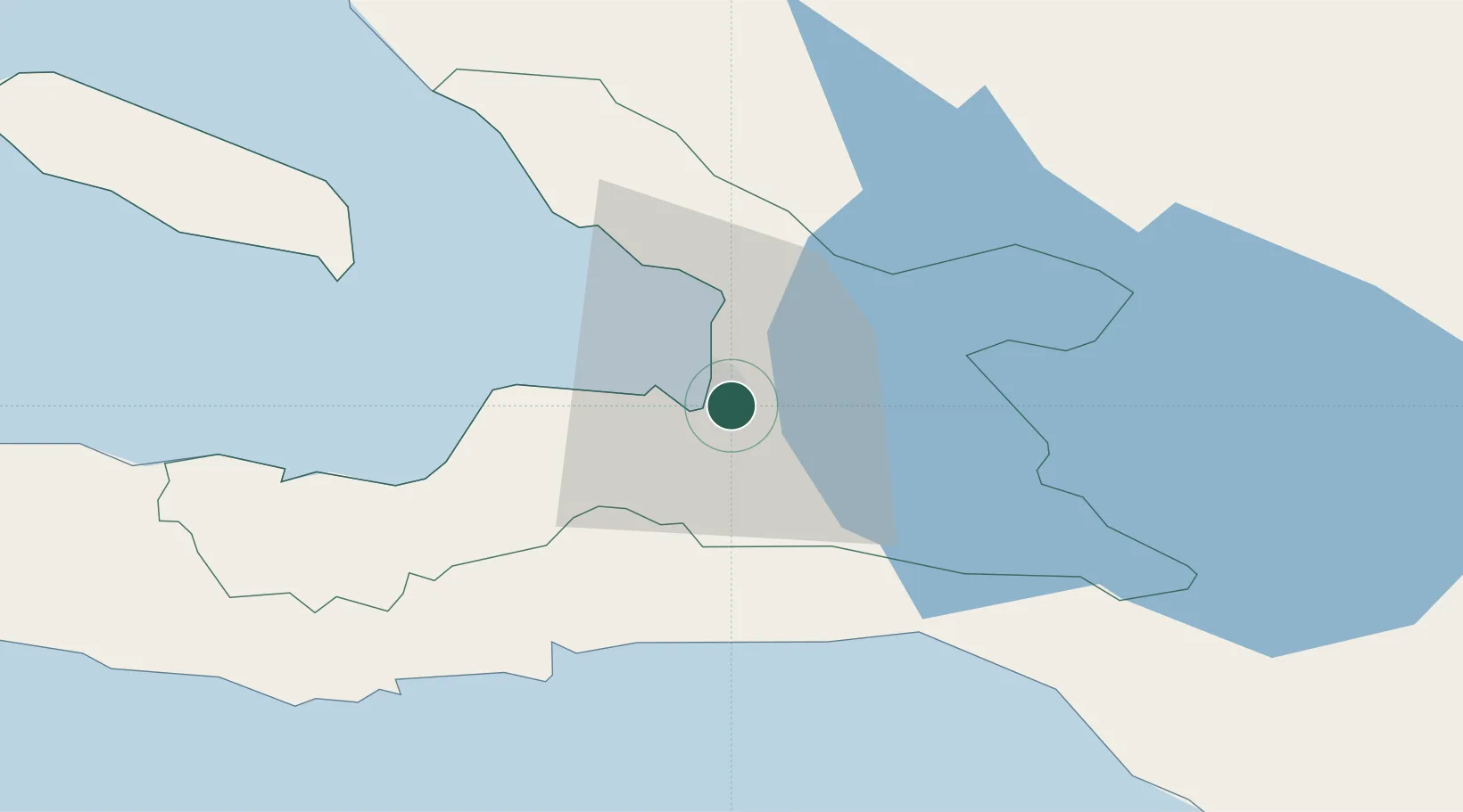
Location
Nearby Logistics Neighbours
Cities
- 1Port-au-Prince4 km
- 2Lafiteau14 km
- 3Lafito Port17 km
- 4Santo18 km
- 5Leogane34 km
Ports
- 1Port Au Prince4 km
- 2Jacmel40 km
- 3Petit Goave59 km
- 4Miragoane81 km
- 5Cabo Rojo98 km
Airports
Trade Zones
DatabookThe Record of Consolidated Knowledge
Haiti beyond logistics?