Seaport · Haiti

Port Au PrinceHTPAP

18.5500°, -72.3500°
12.5 m
Channel depth
2
Container terminals
55.3
Port liner connectivity
Port Au Prince is also a UN/LOCODE logistics hub →

Channel & Berth Profile

SEA LEVEL (CD)CHANNEL BEDCargo pier · 9.4 mOil terminal · 9.4 mChannel · 12.5 mAnchorage · 16.0 m
NGA World Port Index

Pilotage, Tugs & Services

Pilotage compulsoryYES
Pilotage availableYES
Pilotage advisableYES
Local assistanceYES
Tug assistanceYES
Salvage tugsNO
Shore powerYES
Potable waterYES
MedicalYES
Garbage disposalYES
NGA World Port Index

Facilities & Capabilities

ContainerYES
Ro-RoYES
Liquid bulkYES
Dry bulkYES
Oil terminal
Break bulkYES
Dry dock
Repairs
BunkeringYES
Rail link
Dangerous cargo
ISPS securityYES
NGA World Port Index

Harbour Specifications

Harbour size
Medium
NGA World Port Index
Harbour type
Open Roadstead
NGA World Port Index
Shelter
Good
NGA World Port Index
Water body
Caribbean Sea; North Atlantic Ocean
NGA World Port Index
Tidal range
1 m
NGA World Port Index
Overhead limit
No
NGA World Port Index
Pilotage
Yes
NGA World Port Index

Liner Connectivity

55.3
PLSCI

Port Liner Shipping Connectivity Index for Port Au Prince, as published by UNCTAD for the latest available quarter. Higher values indicate stronger scheduled liner-shipping integration.

Shown relative to the highest per-port PLSCI in the dataset (1,657.9).
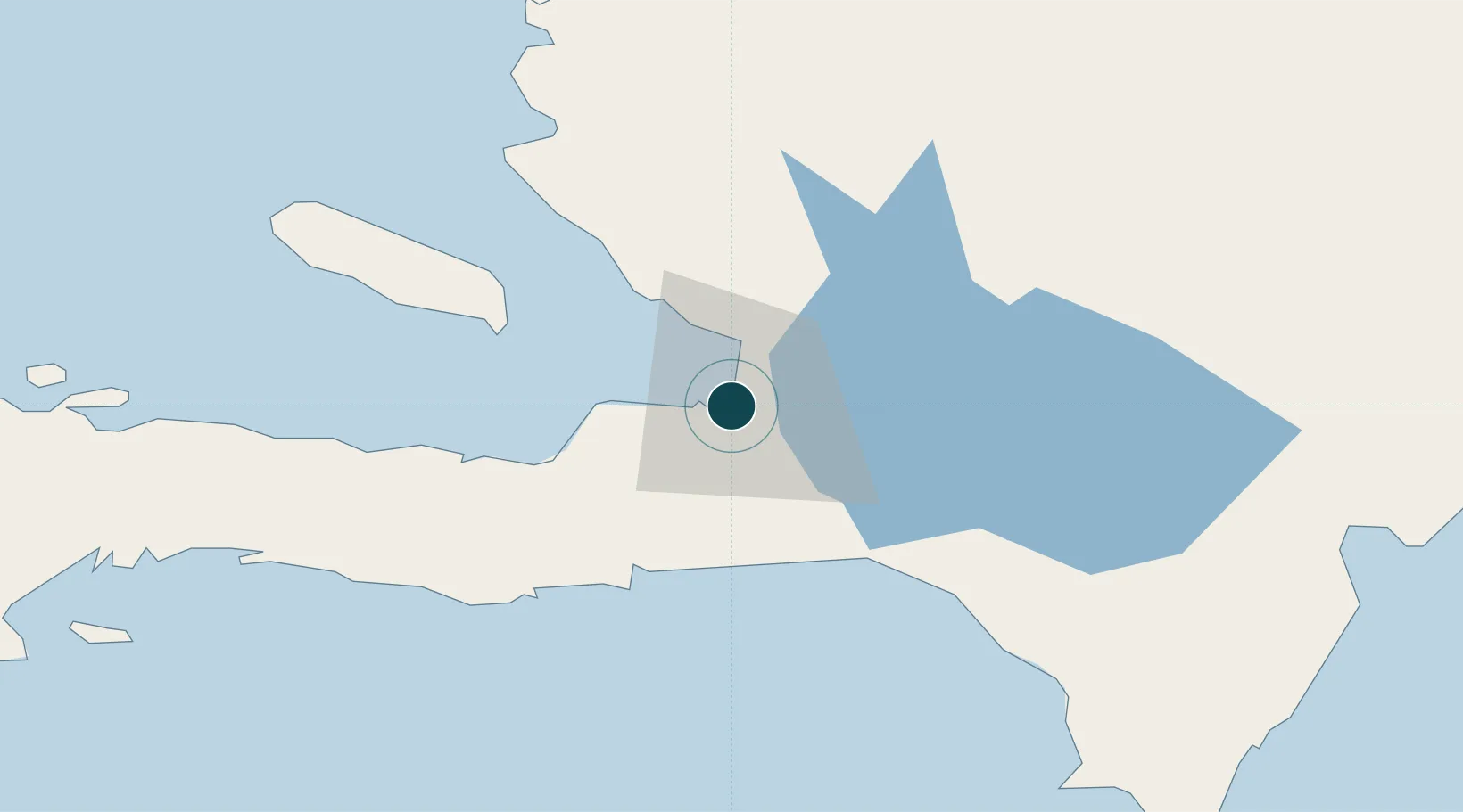
UNCTAD · Port Liner Shipping Connectivity Index

Location

Location of HTPAP
Natural Earth 10m (public domain) · Ouest · HTPAP · 18.55, -72.35GoogleOSMYandex

Container Terminals · 2

PORT-AU-PRINCE CONTAINER TERMINAL (PAPCT)
PAPCT CARIBBEAN PORT SERVICES (CPS)
TERMINAL VARREUX BOLLORE PORT-AU-PRINCE (TVB)
TVB BOLLORE PORTS
SMDG Terminal Code List

Nearby Logistics Neighbours

Ports
  1. 1Jacmel40 km
  2. 2Petit Goave56 km
  3. 3Miragoane78 km
  4. 4Cabo Rojo102 km
  5. 5Cap Haitien136 km
Nearest neighbours — logibook spatial index (haversine) over the source coordinates
Cities
  1. 1Turgeau4 km
  2. 2Lafiteau12 km
  3. 3Lafito Port15 km
  4. 4Santo16 km
  5. 5Leogane30 km
Nearest neighbours — logibook spatial index (haversine) over the source coordinates
Airports
  1. 1Toussaint Louverture International Airport7 km
  2. 2Jacmel Airport39 km
  3. 3Cabo Rojo Airport102 km
  4. 4Cap Haitien International Airport132 km
  5. 5Maria Montez International Airport134 km
Nearest neighbours — logibook spatial index (haversine) over the source coordinates
Trade Zones
  1. 1FTZ Hispaniola3 km
  2. 2FTZ SIDSA (Société Immobilière de Développement SA)11 km
  3. 3Zone Franche Santo-Dujour (FTZ Santo Dujour)13 km
  4. 4FTZ de Digneron14 km
  5. 5Lafito Port Free Zone16 km
Nearest neighbours — logibook spatial index (haversine) over the source coordinates
DatabookThe Record of Consolidated Knowledge
Haiti beyond logistics?
Browse databook

All Sources

Portsthe NGA World Port Index
Public domain (US gov)
Logistics performanceUNCTAD
CC BY 3.0 IGO
Portsthe SMDG Terminal Code List
UN/LOCODE — free, attribution
AirportsOurAirports
Public domain
LocationsUN/LOCODE
UN/LOCODE — free
Trade Zonesthe World Bank SEZ database
CC BY 4.0
Trade ZonesOpen Zone Map
CC BY
← Haiti ports