UN/LOCODE hub · Dominican Republic
DOPVA
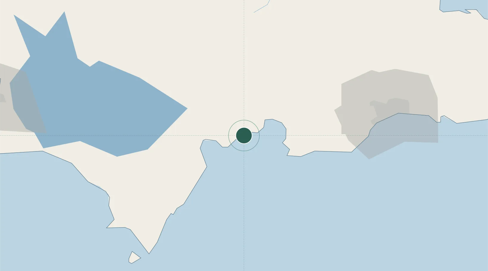
Puerto Viejo de Azua
18.3333°, -70.8333°
1
Transport functions
Transport Functions
Port
Location
Nearby Logistics Neighbours
Cities
- 1Azua17 km
- 2Las Calderas38 km
- 3Ocoa Bay41 km
- 4Baní53 km
- 5Higüey61 km
Ports
- 1Santa Cruz De Barahona30 km
- 2Las Calderas36 km
- 3Puerto De Haina87 km
- 4Cabo Rojo98 km
- 5Santo Domingo101 km
Airports
Trade Zones
DatabookThe Record of Consolidated Knowledge
Dominican Republic beyond logistics?