Transport Functions
Port
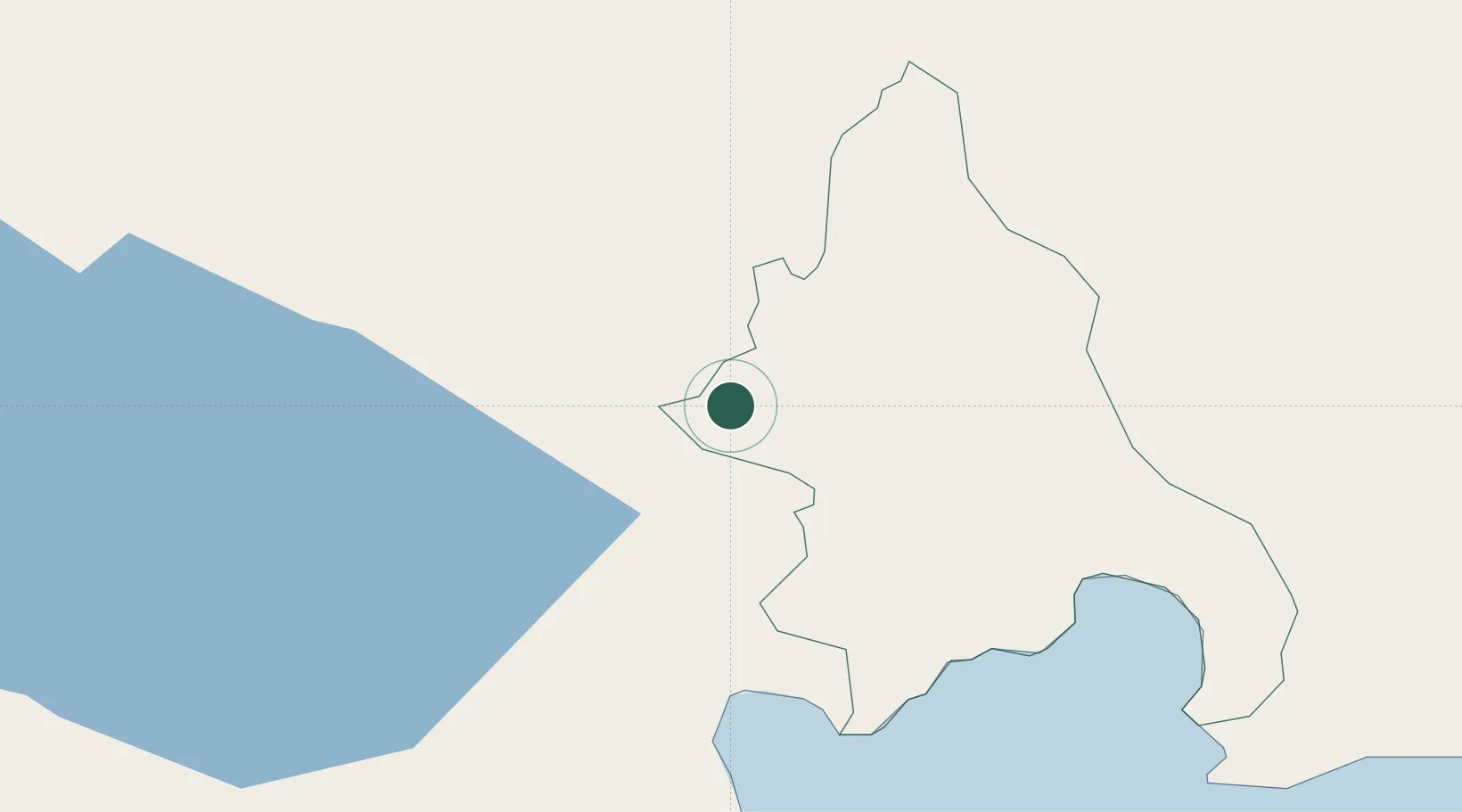
Location
Nearby Logistics Neighbours
Cities
- 1Neiba38 km
- 2Puerto Viejo de Azua41 km
- 3Azua41 km
- 4Constanza48 km
- 5Jarabacoa73 km
Ports
- 1Puerto Viejo De Azua40 km
- 2Santa Cruz De Barahona46 km
- 3Las Calderas75 km
- 4Cabo Rojo98 km
- 5Puerto De Haina115 km
Airports
DatabookThe Record of Consolidated Knowledge
Dominican Republic beyond logistics?