Free Trade Zone · Haiti

FTZ de Digneron Active
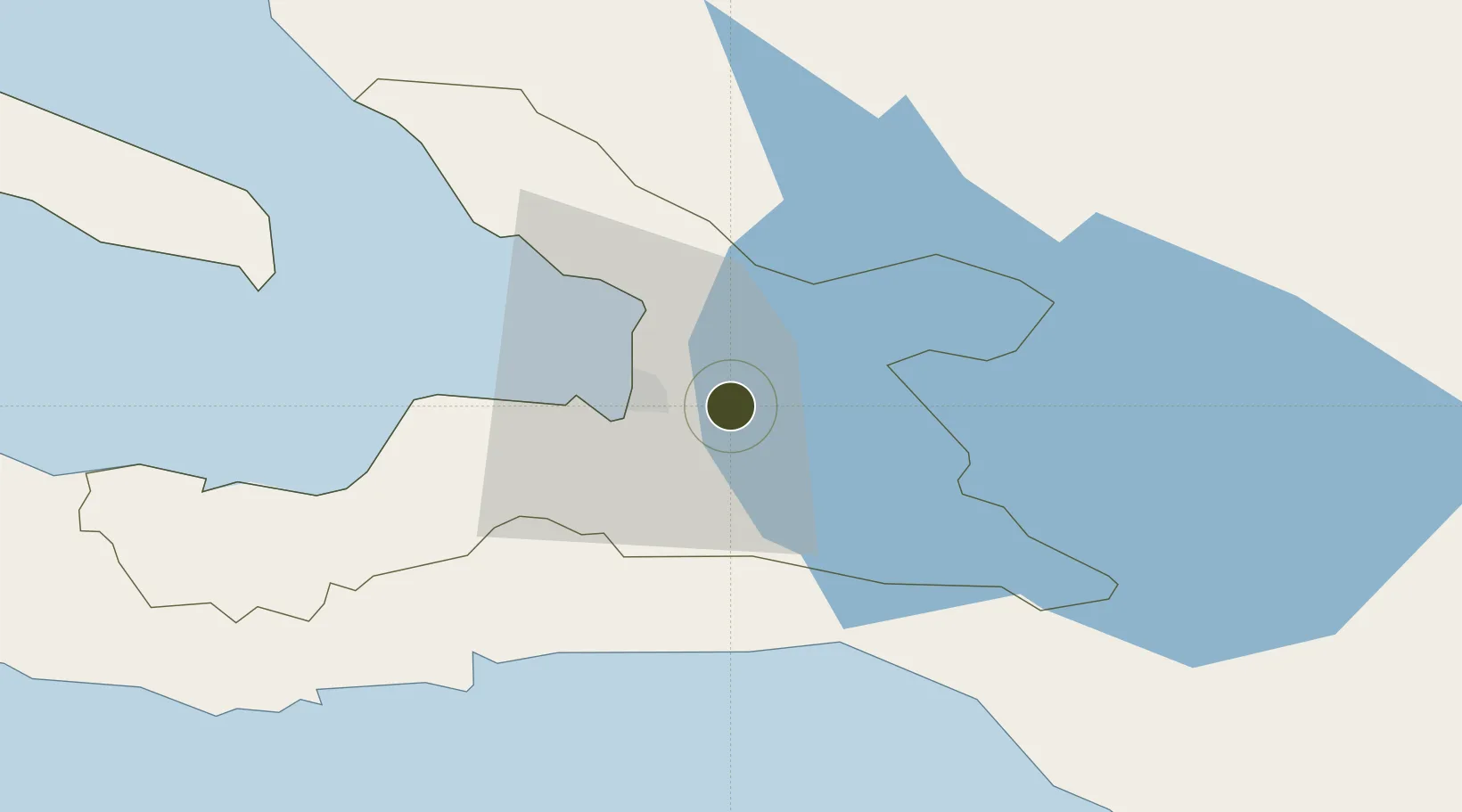
18.5457°, -72.2143°
20 ha
Zone area
14.3 km
Nearest port
9.1 km
Nearest airport

Gateway access

Nearest neighbours — logibook spatial index (haversine) over the source coordinates

Zone profile

Zone type
Free Trade Zone
Open Zone Map
Region
Ouest
Open Zone Map
Status
Active
Open Zone Map
Management
Private
Open Zone Map
Operator
Palm Apparel Group
Open Zone Map
Legal framework
Loi du 9 juillet 2002 sur les zones franches et réglementées par l’arrêté d’application du 24 juillet 2016
Open Zone Map

Location

Location of ozm-2070
Natural Earth 10m (public domain) · Ouest · ozm-2070 · 18.55, -72.21GoogleOSMYandex

Nearby Logistics Neighbours

Ports
  1. 1Port Au Prince14 km
  2. 2Jacmel48 km
  3. 3Petit Goave70 km
  4. 4Cabo Rojo92 km
  5. 5Miragoane92 km
Nearest neighbours — logibook spatial index (haversine) over the source coordinates
Airports
  1. 1Toussaint Louverture International Airport9 km
  2. 2Jacmel Airport47 km
  3. 3Cabo Rojo Airport91 km
  4. 4Maria Montez International Airport120 km
  5. 5Cap Haitien International Airport131 km
Nearest neighbours — logibook spatial index (haversine) over the source coordinates
Cities
  1. 1Turgeau11 km
  2. 2Port-au-Prince13 km
  3. 3Lafiteau18 km
  4. 4Lafito Port21 km
  5. 5Santo29 km
Nearest neighbours — logibook spatial index (haversine) over the source coordinates
Trade Zones
  1. 1FTZ SIDSA (Société Immobilière de Développement SA)5 km
  2. 2Zone Franche Santo-Dujour (FTZ Santo Dujour)8 km
  3. 3FTZ Hispaniola13 km
  4. 4FTZ Balan (in Ganthier)16 km
  5. 5Lafito Port Free Zone22 km
Nearest neighbours — logibook spatial index (haversine) over the source coordinates
DatabookThe Record of Consolidated Knowledge
Haiti beyond logistics?
Browse databook

All Sources

Trade ZonesOpen Zone Map
CC BY
Portsthe NGA World Port Index
Public domain (US gov)
AirportsOurAirports
Public domain
LocationsUN/LOCODE
UN/LOCODE — free
← Haiti trade zones