Large airport · Haiti

Toussaint Louverture International AirportMTPP
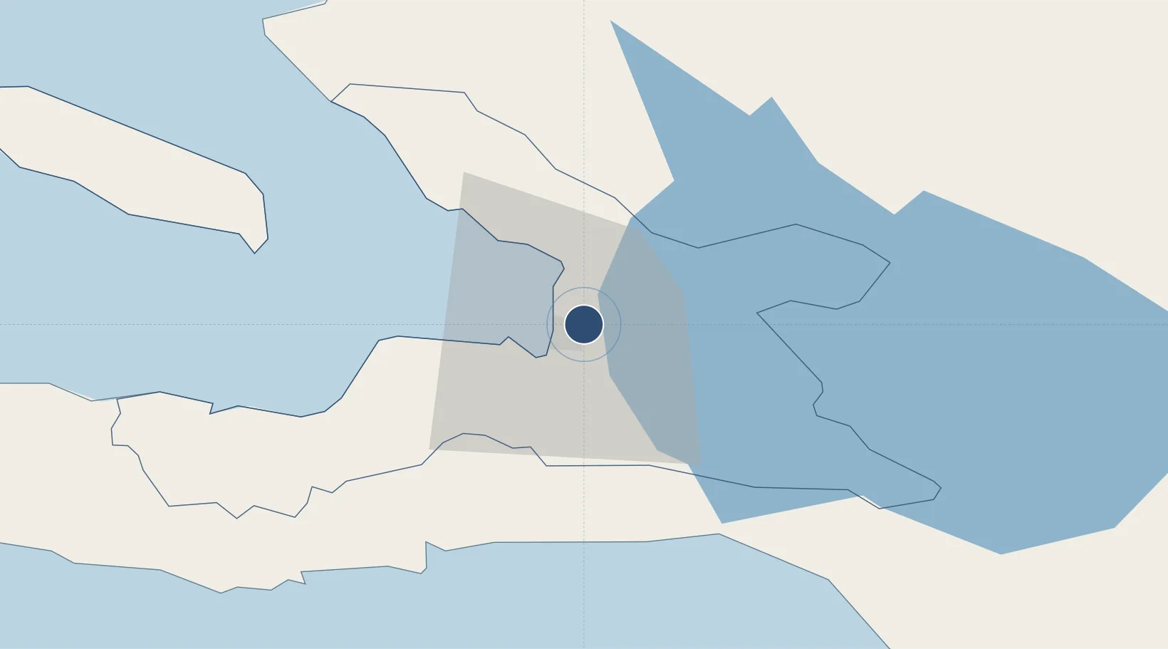
18.5800°, -72.2926°
9,974 ft
Longest runway
1
Runways
122 ft
Elevation

Runway & Layout

Toussaint Louverture International Airport runway & taxiway layout
Runway & taxiway layout — OpenStreetMap (ODbL) / OurAirports

Radio Frequencies

ATIS
132.075 MHz
TWR
118.3 MHz
APP/DEP
119.8 MHz
CTR
124.5 MHz
CTR
134.15 MHz
OurAirports

Navaids

HHP NDB Port Au Prince 270 kHz
PAP VOR-DME Port Au Prince 115.30 MHz
OurAirports

Runways · 1

RunwayDimensions SurfaceTrue headingLit
10/28 9,974 × 141ft Asphalt 087°
OurAirports

Airport Specifications

IATA code
PAP
OurAirports
ICAO code
MTPP
OurAirports
Airport class
Large airport
OurAirports
Scheduled service
Yes
OurAirports
Runway surface
Asphalt
OurAirports
Served city
Port-au-Prince
OurAirports

Location

Location of MTPP
Natural Earth 10m (public domain) · Ouest · MTPP · 18.58, -72.29GoogleOSMYandex

Nearby Logistics Neighbours

Airports
  1. 1Jacmel Airport45 km
  2. 2Cabo Rojo Airport100 km
  3. 3Cap Haitien International Airport128 km
  4. 4Maria Montez International Airport129 km
  5. 5Port-de-Paix Airport162 km
Nearest neighbours — logibook spatial index (haversine) over the source coordinates
Cities
  1. 1Port-au-Prince4 km
  2. 2Turgeau6 km
  3. 3Lafiteau10 km
  4. 4Lafito Port13 km
  5. 5Santo23 km
Nearest neighbours — logibook spatial index (haversine) over the source coordinates
Ports
  1. 1Port Au Prince7 km
  2. 2Jacmel46 km
  3. 3Petit Goave63 km
  4. 4Miragoane85 km
  5. 5Cabo Rojo100 km
Nearest neighbours — logibook spatial index (haversine) over the source coordinates
Trade Zones
  1. 1FTZ Hispaniola4 km
  2. 2FTZ SIDSA (Société Immobilière de Développement SA)5 km
  3. 3Zone Franche Santo-Dujour (FTZ Santo Dujour)6 km
  4. 4FTZ de Digneron9 km
  5. 5Lafito Port Free Zone14 km
Nearest neighbours — logibook spatial index (haversine) over the source coordinates
DatabookThe Record of Consolidated Knowledge
Haiti beyond logistics?
Browse databook

All Sources

AirportsOurAirports
Public domain
Portsthe NGA World Port Index
Public domain (US gov)
LocationsUN/LOCODE
UN/LOCODE — free
Trade Zonesthe World Bank SEZ database
CC BY 4.0
Trade ZonesOpen Zone Map
CC BY
InfrastructureOpenStreetMap
ODbL 1.0
← Haiti airports