Export Processing Zone · Dominican Republic

Zona Franca Industrial Barahona Active
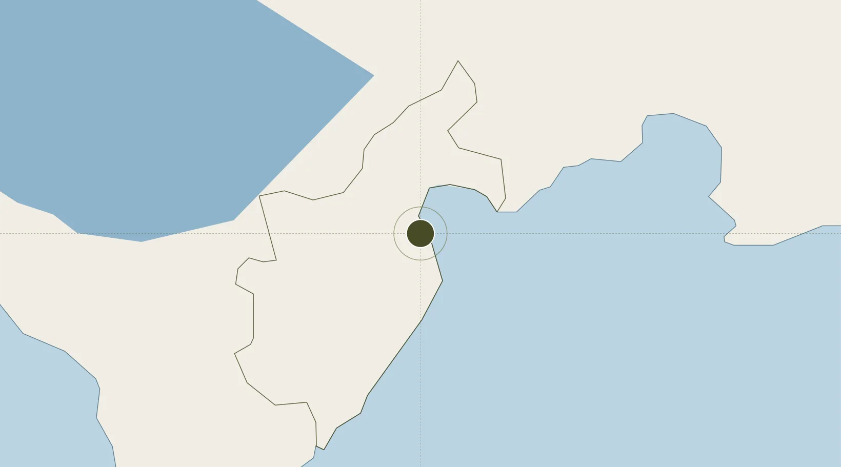
18.2245°, -71.0996°
25 ha
Zone area
3.2 km
Nearest port
3.7 km
Nearest airport

Gateway access

Nearest neighbours — logibook spatial index (haversine) over the source coordinates

Zone profile

Zone type
Export Processing Zone
Open Zone Map
Region
Barahona
Open Zone Map
Status
Active
Open Zone Map
Management
Public
Open Zone Map
Operator
PROINDUSTRIA
Open Zone Map
Legal framework
Law 8-90, Amended in December 2007
Open Zone Map

Location

Location of ozm-1793
Natural Earth 10m (public domain) · Barahona · ozm-1793 · 18.22, -71.10GoogleOSMYandex

Nearby Logistics Neighbours

Ports
  1. 1Santa Cruz De Barahona3 km
  2. 2Puerto Viejo De Azua31 km
  3. 3Las Calderas62 km
  4. 4Cabo Rojo68 km
  5. 5Puerto De Haina116 km
Nearest neighbours — logibook spatial index (haversine) over the source coordinates
Airports
  1. 1Maria Montez International Airport4 km
  2. 2Cabo Rojo Airport66 km
  3. 3La Isabela International Airport124 km
  4. 4Toussaint Louverture International Airport132 km
  5. 5Cibao International Airport141 km
Nearest neighbours — logibook spatial index (haversine) over the source coordinates
Cities
  1. 1Puerto Viejo de Azua31 km
  2. 2Ocoa Bay44 km
  3. 3Neiba44 km
  4. 4Azua46 km
  5. 5Las Calderas63 km
Nearest neighbours — logibook spatial index (haversine) over the source coordinates
Trade Zones
  1. 1San José de Ocoa Industrial Free Zone72 km
  2. 2Zona Franca Industrial Pedernales72 km
  3. 3Zona Franca Industrial de Bani73 km
  4. 4Zona Franca La Armería106 km
  5. 5Zona Franca Industrial Caracol Bonao107 km
Nearest neighbours — logibook spatial index (haversine) over the source coordinates
DatabookThe Record of Consolidated Knowledge
Dominican Republic beyond logistics?
Browse databook

All Sources

Trade ZonesOpen Zone Map
CC BY
Portsthe NGA World Port Index
Public domain (US gov)
AirportsOurAirports
Public domain
LocationsUN/LOCODE
UN/LOCODE — free
← Dominican Republic trade zones