Export Processing Zone · Dominican Republic

Zona Franca Industrial Pedernales Inactive
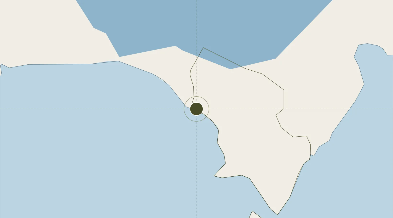
18.0407°, -71.7501°
10 ha
Zone area
17.4 km
Nearest port
16.7 km
Nearest airport

Gateway access

Nearest neighbours — logibook spatial index (haversine) over the source coordinates

Zone profile

Zone type
Export Processing Zone
Open Zone Map
Region
Pedernales
Open Zone Map
Status
Inactive
Open Zone Map
Management
Public
Open Zone Map
Operator
PROINDUSTRIA
Open Zone Map
Legal framework
Law 8-90, Amended in December 2007
Open Zone Map

Location

Location of ozm-1785
Natural Earth 10m (public domain) · Pedernales · ozm-1785 · 18.04, -71.75GoogleOSMYandex

Nearby Logistics Neighbours

Ports
  1. 1Cabo Rojo17 km
  2. 2Santa Cruz De Barahona73 km
  3. 3Port Au Prince85 km
  4. 4Jacmel86 km
  5. 5Puerto Viejo De Azua103 km
Nearest neighbours — logibook spatial index (haversine) over the source coordinates
Airports
  1. 1Cabo Rojo Airport17 km
  2. 2Maria Montez International Airport71 km
  3. 3Toussaint Louverture International Airport83 km
  4. 4Jacmel Airport84 km
  5. 5Cap Haitien International Airport193 km
Nearest neighbours — logibook spatial index (haversine) over the source coordinates
Cities
  1. 1Neiba61 km
  2. 2Turgeau81 km
  3. 3Port-au-Prince85 km
  4. 4Santo92 km
  5. 5Lafiteau93 km
Nearest neighbours — logibook spatial index (haversine) over the source coordinates
Trade Zones
  1. 1FTZ Balan (in Ganthier)64 km
  2. 2Zona Franca Industrial Barahona72 km
  3. 3FTZ de Digneron75 km
  4. 4FTZ SIDSA (Société Immobilière de Développement SA)80 km
  5. 5Zone Franche Santo-Dujour (FTZ Santo Dujour)82 km
Nearest neighbours — logibook spatial index (haversine) over the source coordinates
DatabookThe Record of Consolidated Knowledge
Dominican Republic beyond logistics?
Browse databook

All Sources

Trade ZonesOpen Zone Map
CC BY
Portsthe NGA World Port Index
Public domain (US gov)
AirportsOurAirports
Public domain
LocationsUN/LOCODE
UN/LOCODE — free
← Dominican Republic trade zones