Channel & Berth Profile
Pilotage, Tugs & Services
Pilotage compulsoryYES
Pilotage availableYES
Pilotage advisableYES
Local assistanceYES
Tug assistanceYES
Potable waterYES
Diesel bunkersYES
MedicalYES
Facilities & Capabilities
Container—
Ro-Ro—
Liquid bulkYES
Dry bulkYES
Oil terminal—
Break bulkYES
Dry dock—
RepairsNO
Bunkering—
Rail linkYES
Dangerous cargo—
ISPS securityYES
Harbour Specifications
Harbour size
Small
Harbour type
Coastal (Natural)
Shelter
Good
Water body
Caribbean Sea; North Atlantic Ocean
Tidal range
0.6 m
Overhead limit
Yes
Pilotage
Yes
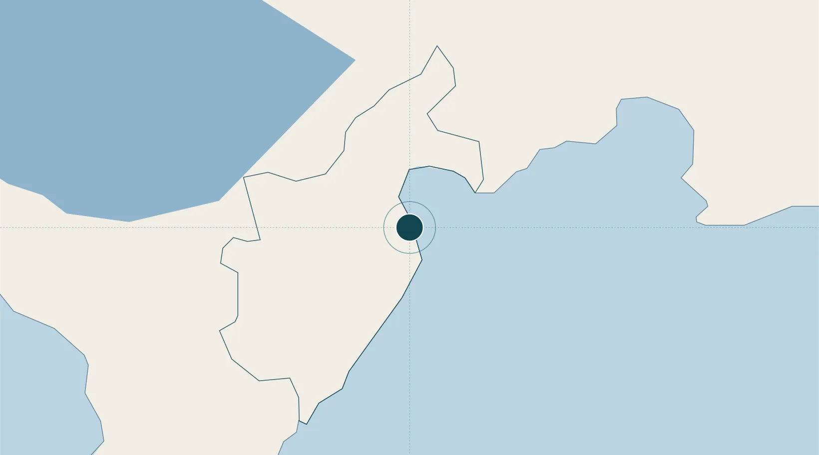
Location
Nearby Logistics Neighbours
Ports
- 1Puerto Viejo De Azua31 km
- 2Las Calderas60 km
- 3Cabo Rojo68 km
- 4Puerto De Haina115 km
- 5Santo Domingo130 km
Cities
- 1Puerto Viejo de Azua30 km
- 2Azua46 km
- 3Ocoa Bay46 km
- 4Neiba47 km
- 5Las Calderas62 km
Airports
Trade Zones
DatabookThe Record of Consolidated Knowledge
Dominican Republic beyond logistics?