Medium airport · Dominican Republic

Cabo Rojo AirportMDCR
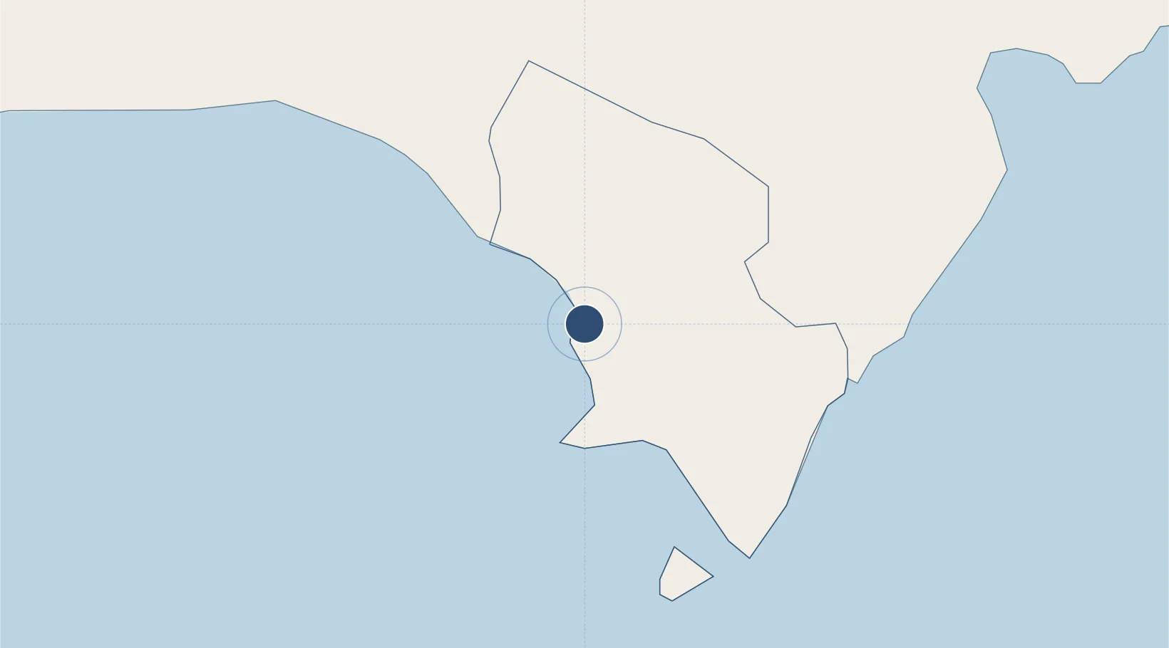
17.9290°, -71.6448°
4,950 ft
Longest runway
1
Runways
262 ft
Elevation

Runway & Layout

Cabo Rojo Airport runway & taxiway layout
Runway & taxiway layout — OpenStreetMap (ODbL) / OurAirports

Radio Frequencies

RDO
122.7 MHz
OurAirports

Navaids

DCR VOR-DME Cabo Rojo 114.30 MHz
OurAirports

Runways · 1

RunwayDimensions SurfaceTrue headingLit
11/29 4,950 × 98ft Asphalt 109°
OurAirports

Airport Specifications

IATA code
CBJ
OurAirports
ICAO code
MDCR
OurAirports
Airport class
Medium airport
OurAirports
Scheduled service
No
OurAirports
Runway surface
Asphalt
OurAirports
Served city
Cabo Rojo
OurAirports

Location

Location of MDCR
Natural Earth 10m (public domain) · Pedernales · MDCR · 17.93, -71.64GoogleOSMYandex

Nearby Logistics Neighbours

Airports
  1. 1Maria Montez International Airport66 km
  2. 2Jacmel Airport99 km
  3. 3Toussaint Louverture International Airport100 km
  4. 4La Isabela International Airport189 km
  5. 5Cibao International Airport197 km
Nearest neighbours — logibook spatial index (haversine) over the source coordinates
Cities
  1. 1Neiba66 km
  2. 2Ocoa Bay97 km
  3. 3Puerto Viejo de Azua97 km
  4. 4Turgeau98 km
  5. 5Port-au-Prince101 km
Nearest neighbours — logibook spatial index (haversine) over the source coordinates
Ports
  1. 1Cabo Rojo2 km
  2. 2Santa Cruz De Barahona67 km
  3. 3Puerto Viejo De Azua98 km
  4. 4Jacmel100 km
  5. 5Port Au Prince102 km
Nearest neighbours — logibook spatial index (haversine) over the source coordinates
Trade Zones
  1. 1Zona Franca Industrial Pedernales17 km
  2. 2Zona Franca Industrial Barahona66 km
  3. 3FTZ Balan (in Ganthier)81 km
  4. 4FTZ de Digneron91 km
  5. 5FTZ SIDSA (Société Immobilière de Développement SA)96 km
Nearest neighbours — logibook spatial index (haversine) over the source coordinates
DatabookThe Record of Consolidated Knowledge
Dominican Republic beyond logistics?
Browse databook

All Sources

AirportsOurAirports
Public domain
Portsthe NGA World Port Index
Public domain (US gov)
LocationsUN/LOCODE
UN/LOCODE — free
Trade Zonesthe World Bank SEZ database
CC BY 4.0
Trade ZonesOpen Zone Map
CC BY
InfrastructureOpenStreetMap
ODbL 1.0
← Dominican Republic airports