Medium airport · Haiti
Jacmel AirportMTJA
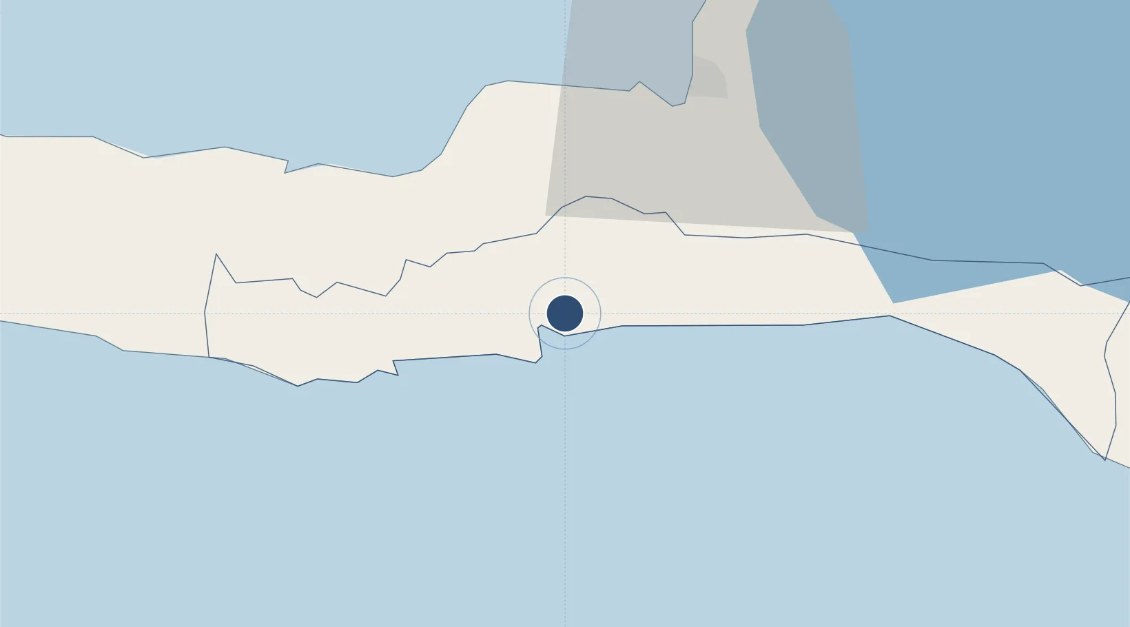
18.2411°, -72.5185°
3,300 ft
Longest runway
1
Runways
167 ft
Elevation
Runway & Layout

Radio Frequencies
TWR
118.5 MHz
Runways · 1
| Runway | Dimensions | Surface | True heading | Lit |
|---|---|---|---|---|
| 01/19 | 3,300 × 95ft | Asphalt | 005° | — |
Airport Specifications
IATA code
JAK
ICAO code
MTJA
Airport class
Medium airport
Scheduled service
No
Runway surface
Asphalt
Served city
Jacmel
Location
Nearby Logistics Neighbours
Airports
Cities
- 1Santo27 km
- 2Leogane31 km
- 3Turgeau39 km
- 4Port-au-Prince41 km
- 5Petit Goâve43 km
Ports
- 1Jacmel2 km
- 2Port Au Prince39 km
- 3Petit Goave43 km
- 4Miragoane64 km
- 5Cabo Rojo99 km
Trade Zones
DatabookThe Record of Consolidated Knowledge
Haiti beyond logistics?