Free Trade Zone · Haiti

FTZ Balan (in Ganthier) Under Development
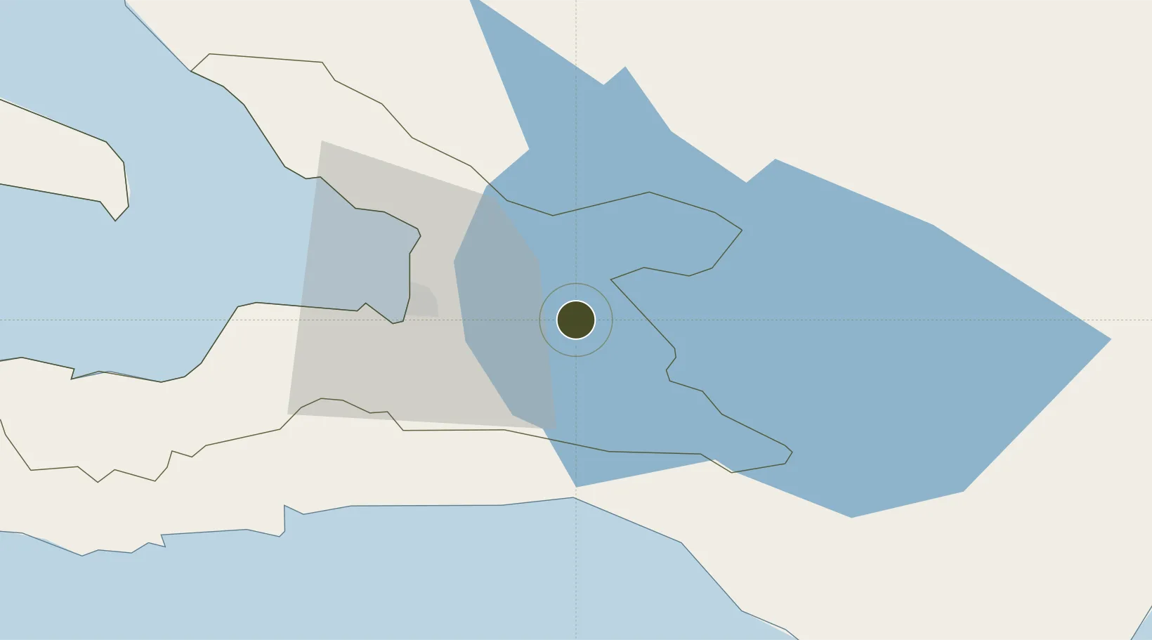
18.5321°, -72.0675°
29.8 km
Nearest port
24.3 km
Nearest airport

Gateway access

Nearest neighbours — logibook spatial index (haversine) over the source coordinates

Zone profile

Zone type
Free Trade Zone
Open Zone Map
Region
Ouest
Open Zone Map
Status
Under Development
Open Zone Map
Management
Private
Open Zone Map
Legal framework
Loi du 9 juillet 2002 sur les zones franches et réglementées par l’arrêté d’application du 24 juillet 2019
Open Zone Map

Location

Location of ozm-2075
Natural Earth 10m (public domain) · Ouest · ozm-2075 · 18.53, -72.07GoogleOSMYandex

Nearby Logistics Neighbours

Ports
  1. 1Port Au Prince30 km
  2. 2Jacmel59 km
  3. 3Cabo Rojo81 km
  4. 4Petit Goave85 km
  5. 5Miragoane108 km
Nearest neighbours — logibook spatial index (haversine) over the source coordinates
Airports
  1. 1Toussaint Louverture International Airport24 km
  2. 2Jacmel Airport58 km
  3. 3Cabo Rojo Airport81 km
  4. 4Maria Montez International Airport105 km
  5. 5Cap Haitien International Airport133 km
Nearest neighbours — logibook spatial index (haversine) over the source coordinates
Cities
  1. 1Turgeau26 km
  2. 2Port-au-Prince28 km
  3. 3Lafiteau32 km
  4. 4Lafito Port34 km
  5. 5Santo44 km
Nearest neighbours — logibook spatial index (haversine) over the source coordinates
Trade Zones
  1. 1FTZ de Digneron16 km
  2. 2FTZ SIDSA (Société Immobilière de Développement SA)20 km
  3. 3Zone Franche Santo-Dujour (FTZ Santo Dujour)20 km
  4. 4FTZ Hispaniola28 km
  5. 5Lafito Port Free Zone35 km
Nearest neighbours — logibook spatial index (haversine) over the source coordinates
DatabookThe Record of Consolidated Knowledge
Haiti beyond logistics?
Browse databook

All Sources

Trade ZonesOpen Zone Map
CC BY
Portsthe NGA World Port Index
Public domain (US gov)
AirportsOurAirports
Public domain
LocationsUN/LOCODE
UN/LOCODE — free
← Haiti trade zones