Free Trade Zone · Haiti

Zone Franche Santo-Dujour (FTZ Santo Dujour) Under Development
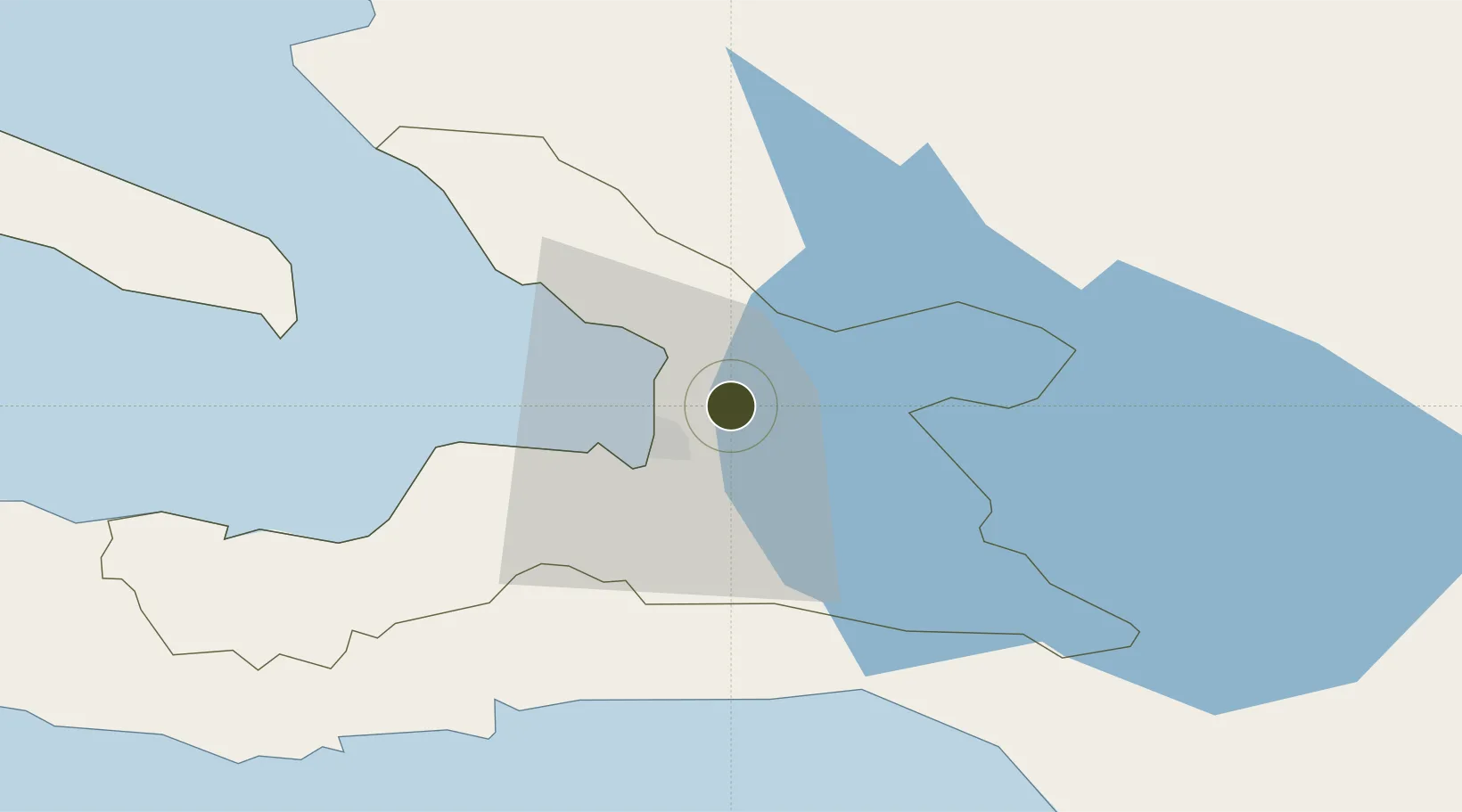
18.6080°, -72.2425°
23 ha
Zone area
13.0 km
Nearest port
6.1 km
Nearest airport

Gateway access

Nearest neighbours — logibook spatial index (haversine) over the source coordinates

Zone profile

Zone type
Free Trade Zone
Open Zone Map
Region
Ouest
Open Zone Map
Status
Under Development
Open Zone Map
Management
Private
Open Zone Map
Operator
Apaid Group
Open Zone Map
Legal framework
Free Zones Act of 2002
Open Zone Map

Location

Location of ozm-2071
Natural Earth 10m (public domain) · Ouest · ozm-2071 · 18.61, -72.24GoogleOSMYandex

Nearby Logistics Neighbours

Ports
  1. 1Port Au Prince13 km
  2. 2Jacmel52 km
  3. 3Petit Goave69 km
  4. 4Miragoane90 km
  5. 5Cabo Rojo99 km
Nearest neighbours — logibook spatial index (haversine) over the source coordinates
Airports
  1. 1Toussaint Louverture International Airport6 km
  2. 2Jacmel Airport50 km
  3. 3Cabo Rojo Airport98 km
  4. 4Cap Haitien International Airport124 km
  5. 5Maria Montez International Airport125 km
Nearest neighbours — logibook spatial index (haversine) over the source coordinates
Cities
  1. 1Port-au-Prince10 km
  2. 2Turgeau11 km
  3. 3Lafiteau12 km
  4. 4Lafito Port14 km
  5. 5Santo29 km
Nearest neighbours — logibook spatial index (haversine) over the source coordinates
Trade Zones
  1. 1FTZ SIDSA (Société Immobilière de Développement SA)4 km
  2. 2FTZ de Digneron8 km
  3. 3FTZ Hispaniola10 km
  4. 4Lafito Port Free Zone15 km
  5. 5FTZ Balan (in Ganthier)20 km
Nearest neighbours — logibook spatial index (haversine) over the source coordinates
DatabookThe Record of Consolidated Knowledge
Haiti beyond logistics?
Browse databook

All Sources

Trade ZonesOpen Zone Map
CC BY
Portsthe NGA World Port Index
Public domain (US gov)
AirportsOurAirports
Public domain
LocationsUN/LOCODE
UN/LOCODE — free
← Haiti trade zones