Medium airport · Dominican Republic

Maria Montez International AirportMDBH
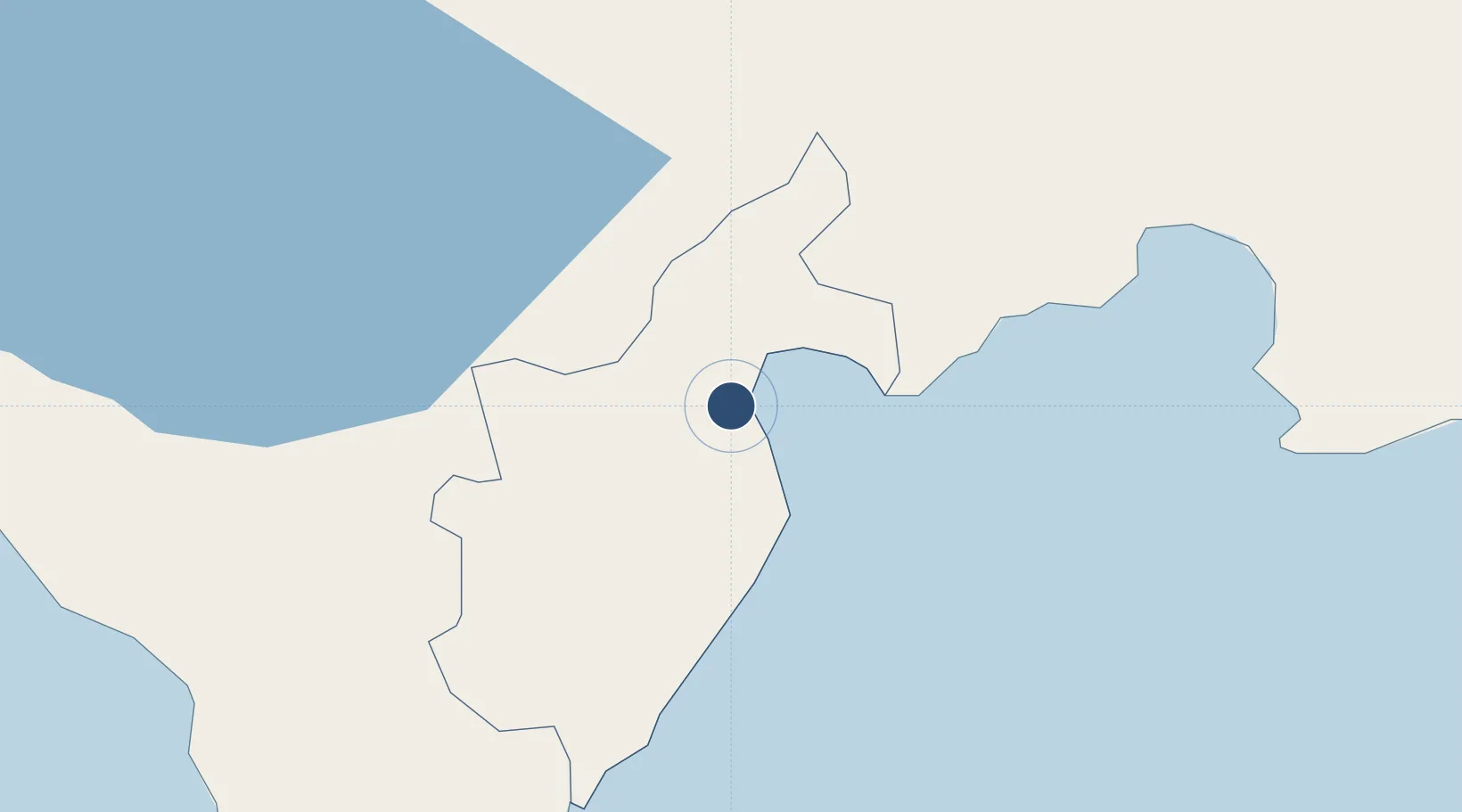
18.2515°, -71.1204°
9,843 ft
Longest runway
1
Runways
10 ft
Elevation

Runway & Layout

Maria Montez International Airport runway & taxiway layout
Runway & taxiway layout — OpenStreetMap (ODbL) / OurAirports

Radio Frequencies

TWR
118.5 MHz
BARAHONA TWR
GND
121.8 MHz
APP
119.5 MHz
BARAHONA APP
OurAirports

Navaids

BHN NDB Barahona 300 kHz
BHO VOR-DME Barahona 112.00 MHz
OurAirports

Runways · 1

RunwayDimensions SurfaceTrue headingLit
12/30 9,843 × 148ft Asphalt 118°
OurAirports

Airport Specifications

IATA code
BRX
OurAirports
ICAO code
MDBH
OurAirports
Airport class
Medium airport
OurAirports
Scheduled service
Yes
OurAirports
Runway surface
Asphalt
OurAirports
Served city
Barahona
OurAirports

Location

Location of MDBH
Natural Earth 10m (public domain) · Barahona · MDBH · 18.25, -71.12GoogleOSMYandex

Nearby Logistics Neighbours

Airports
  1. 1Cabo Rojo Airport66 km
  2. 2La Isabela International Airport125 km
  3. 3Toussaint Louverture International Airport129 km
  4. 4Cibao International Airport139 km
  5. 5San Isidro Air Base146 km
Nearest neighbours — logibook spatial index (haversine) over the source coordinates
Cities
  1. 1Puerto Viejo de Azua32 km
  2. 2Neiba41 km
  3. 3Ocoa Bay41 km
  4. 4Azua46 km
  5. 5Las Calderas66 km
Nearest neighbours — logibook spatial index (haversine) over the source coordinates
Ports
  1. 1Santa Cruz De Barahona7 km
  2. 2Puerto Viejo De Azua32 km
  3. 3Las Calderas64 km
  4. 4Cabo Rojo67 km
  5. 5Puerto De Haina118 km
Nearest neighbours — logibook spatial index (haversine) over the source coordinates
Trade Zones
  1. 1Zona Franca Industrial Barahona4 km
  2. 2Zona Franca Industrial Pedernales71 km
  3. 3San José de Ocoa Industrial Free Zone72 km
  4. 4Zona Franca Industrial de Bani76 km
  5. 5FTZ Balan (in Ganthier)105 km
Nearest neighbours — logibook spatial index (haversine) over the source coordinates
DatabookThe Record of Consolidated Knowledge
Dominican Republic beyond logistics?
Browse databook

All Sources

AirportsOurAirports
Public domain
Portsthe NGA World Port Index
Public domain (US gov)
LocationsUN/LOCODE
UN/LOCODE — free
Trade Zonesthe World Bank SEZ database
CC BY 4.0
Trade ZonesOpen Zone Map
CC BY
InfrastructureOpenStreetMap
ODbL 1.0
← Dominican Republic airports