Seaport · Dominican Republic

Cabo RojoDOCBJ

17.9167°, -71.6500°
9.4 m
Channel depth
6.9
Port liner connectivity

Channel & Berth Profile

SEA LEVEL (CD)CHANNEL BEDAnchorage · 4.9 mChannel · 9.4 mCargo pier · 9.4 m
NGA World Port Index

Pilotage, Tugs & Services

Pilotage compulsoryYES
Pilotage availableYES
Pilotage advisableYES
Local assistanceYES
Tug assistanceNO
Salvage tugsNO
Potable waterYES
Diesel bunkersNO
MedicalNO
NGA World Port Index

Facilities & Capabilities

Container
Ro-Ro
Liquid bulk
Dry bulkYES
Oil terminal
Break bulkYES
Dry dock
Repairs
BunkeringNO
Rail link
Dangerous cargo
ISPS securityYES
NGA World Port Index

Harbour Specifications

Harbour size
Very Small
NGA World Port Index
Harbour type
Open Roadstead
NGA World Port Index
Shelter
Poor
NGA World Port Index
Water body
Caribbean Sea; North Atlantic Ocean
NGA World Port Index
Tidal range
0.6 m
NGA World Port Index
Overhead limit
Yes
NGA World Port Index
Pilotage
Yes
NGA World Port Index

Liner Connectivity

6.9
PLSCI

Port Liner Shipping Connectivity Index for Cabo Rojo, as published by UNCTAD for the latest available quarter. Higher values indicate stronger scheduled liner-shipping integration.

Shown relative to the highest per-port PLSCI in the dataset (1,657.9).

UNCTAD · Port Liner Shipping Connectivity Index

Location

Location of DOCBJ
Natural Earth 10m (public domain) · Pedernales · DOCBJ · 17.92, -71.65GoogleOSMYandex

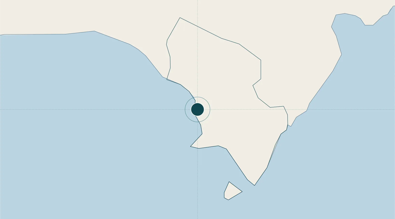
Nearby Logistics Neighbours

Ports
  1. 1Santa Cruz De Barahona68 km
  2. 2Puerto Viejo De Azua99 km
  3. 3Jacmel100 km
  4. 4Port Au Prince102 km
  5. 5Las Calderas124 km
Nearest neighbours — logibook spatial index (haversine) over the source coordinates
Cities
  1. 1Neiba68 km
  2. 2Puerto Viejo de Azua98 km
  3. 3Ocoa Bay98 km
  4. 4Turgeau98 km
  5. 5Port-au-Prince102 km
Nearest neighbours — logibook spatial index (haversine) over the source coordinates
Airports
  1. 1Cabo Rojo Airport2 km
  2. 2Maria Montez International Airport67 km
  3. 3Jacmel Airport99 km
  4. 4Toussaint Louverture International Airport100 km
  5. 5La Isabela International Airport190 km
Nearest neighbours — logibook spatial index (haversine) over the source coordinates
Trade Zones
  1. 1Zona Franca Industrial Pedernales17 km
  2. 2Zona Franca Industrial Barahona68 km
  3. 3FTZ Balan (in Ganthier)81 km
  4. 4FTZ de Digneron92 km
  5. 5FTZ SIDSA (Société Immobilière de Développement SA)97 km
Nearest neighbours — logibook spatial index (haversine) over the source coordinates
DatabookThe Record of Consolidated Knowledge
Dominican Republic beyond logistics?
Browse databook

All Sources

Portsthe NGA World Port Index
Public domain (US gov)
Logistics performanceUNCTAD
CC BY 3.0 IGO
AirportsOurAirports
Public domain
LocationsUN/LOCODE
UN/LOCODE — free
Trade Zonesthe World Bank SEZ database
CC BY 4.0
Trade ZonesOpen Zone Map
CC BY
← Dominican Republic ports