Transport Functions
Port
Road
Hub Profile
Region
DJ
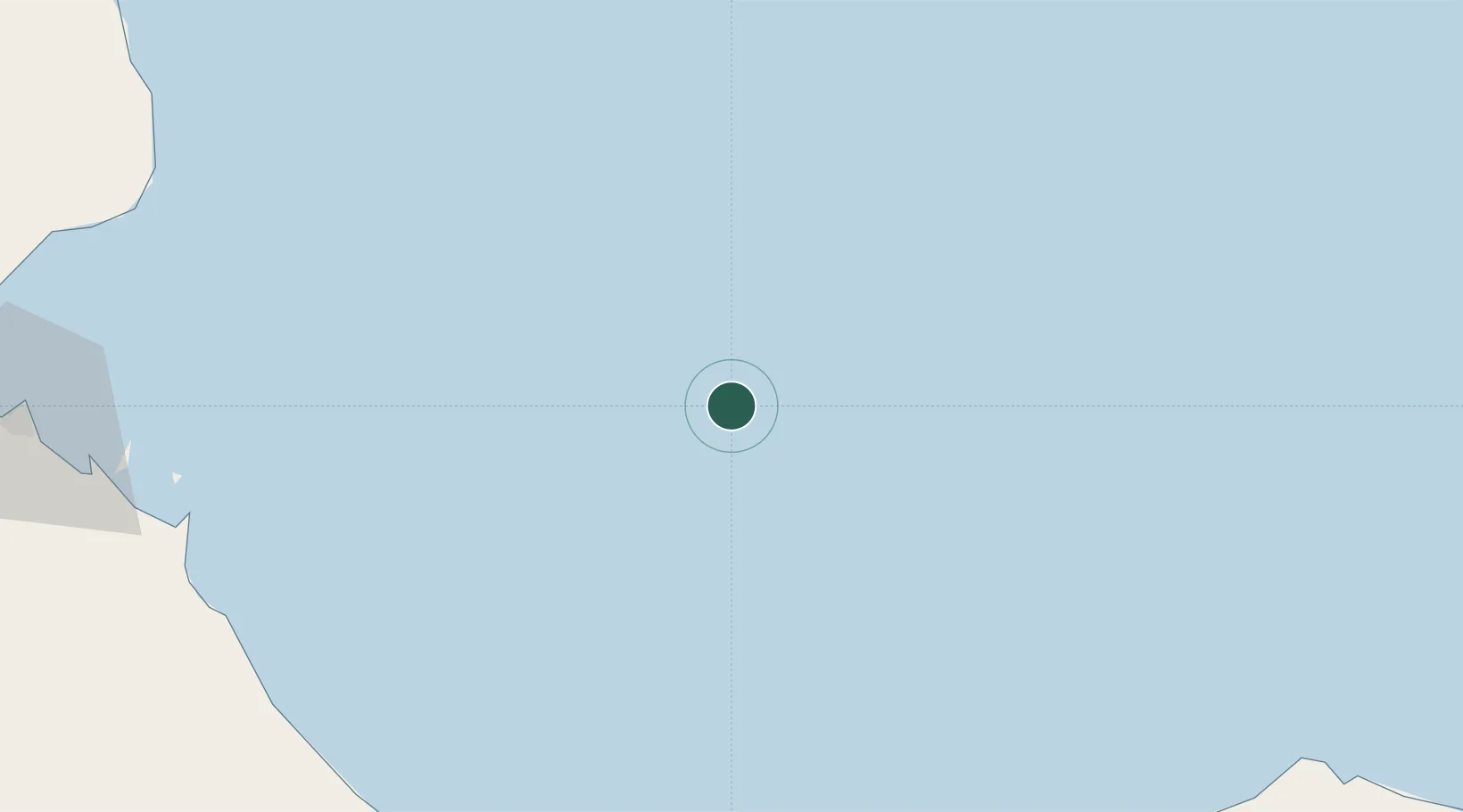
Location
Nearby Logistics Neighbours
Cities
- 1Little Aden129 km
- 2Berbera136 km
- 3'Adan138 km
- 4Aden140 km
- 5Damerjog155 km
Airports
- 1Berbera Airport140 km
- 2Aden International Airport145 km
- 3Djibouti-Ambouli Airport157 km
- 4Al Anad Air Base176 km
- 5Taiz International Airport237 km
Trade Zones
- 1Berbera Economic Free Zone136 km
- 2Aden Free Zone143 km
- 3Damerjog Industrial Development Free Zone150 km
- 4Djibouti Free Zone160 km
- 5Touchroad Djibouti Special Economic Zone161 km
DatabookThe Record of Consolidated Knowledge
Djibouti beyond logistics?